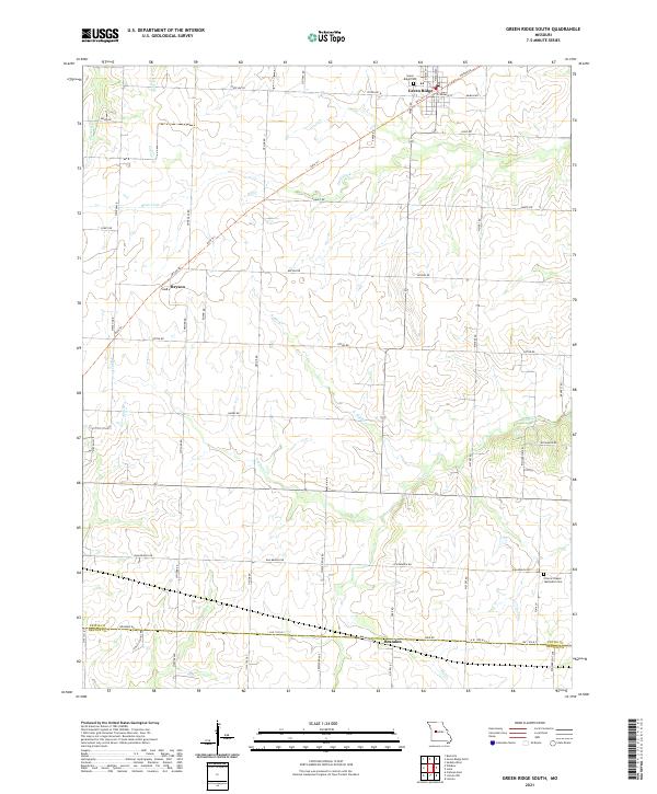
2021 Map of Green Ridge South
USGS Topo · Published 2021About this map
Green Ridge anchors the northern reaches of this rural landscape, situated just above the junction of State Hwy B and Katy Trl. The terrain is defined by a dense network of drainages including Basin Fork, N Flat Cr, and Pepper Cr, which carve through the agricultural fields of southern Pettis County. Small rural hubs like Bryson and Brandon mark traditional crossroads, while landmarks such as Prairie Chapel Methodist Cem and Green Ridge Cem provide critical points of interest for those researching local family history.
Find a feature on this map
51 named features on this map. Tap any name to fly to it.
Don’t see what you’re looking for? This feature index may not catch every label — zoom into the map to look around manually.
Map Details
Editions of this 2021 Green Ridge South Map
This is the sole edition of this map. No revisions or reprints were ever made.
Other maps of this area

1885 · Warrensburg
USGS Topo · 1:125,000

1887 · Clinton
USGS Topo · 1:125,000

1887 · Sedalia
USGS Topo · 1:125,000

1887 · Warsaw
USGS Topo · 1:125,000

1887 · Warrensburg
USGS Topo · 1:125,000

1894 · Warsaw
USGS Topo · 1:125,000

1894 · Sedalia
USGS Topo · 1:125,000

1894 · Warrensburg
USGS Topo · 1:125,000

1894 · Clinton
USGS Topo · 1:125,000

1944 · Sedalia West
USGS Topo · 1:24,000