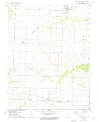
1973 Map of Green Ridge South
USGS Topo · Published 1975About this map
The town of Green Ridge sits at the northern edge of this landscape, serving as a focal point for the surrounding agricultural region of Pettis County and Benton County. The mid-1970s terrain is defined by its transit history, showing the Missouri - Kansas - Texas railroad cutting diagonally through the center, while the southern reaches are marked by the Chicago Rock Island and Pacific line near Brandon. An Old RR Grade south of Bryson indicates a shift in the local transportation network over time.
Find a feature on this map
20 named features on this map. Tap any name to fly to it.
Don’t see what you’re looking for? This feature index may not catch every label — zoom into the map to look around manually.
Map Details
Editions of this 1973 Green Ridge South Map
This is the sole edition of this map. No revisions or reprints were ever made.
Other maps of this area

1885 · Warrensburg
USGS Topo · 1:125,000

1887 · Clinton
USGS Topo · 1:125,000

1887 · Sedalia
USGS Topo · 1:125,000

1887 · Warsaw
USGS Topo · 1:125,000

1887 · Warrensburg
USGS Topo · 1:125,000

1894 · Warsaw
USGS Topo · 1:125,000

1894 · Sedalia
USGS Topo · 1:125,000

1894 · Warrensburg
USGS Topo · 1:125,000

1894 · Clinton
USGS Topo · 1:125,000

1944 · Sedalia West
USGS Topo · 1:24,000