
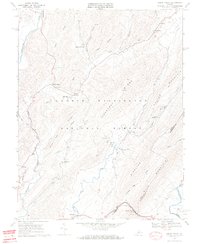
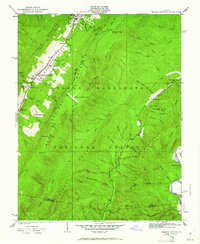
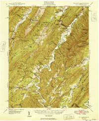
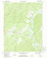
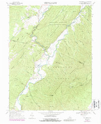
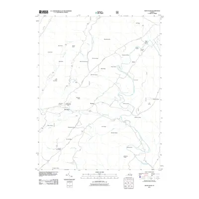
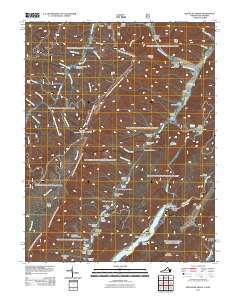
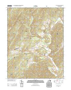
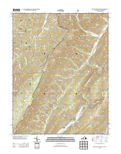
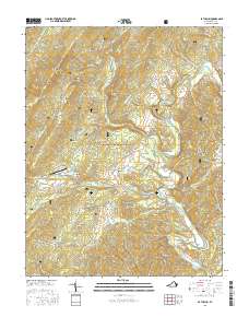
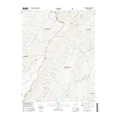
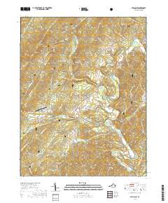
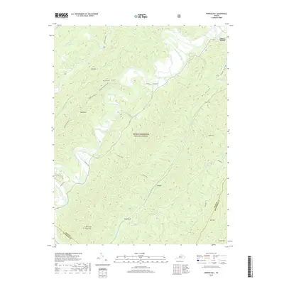
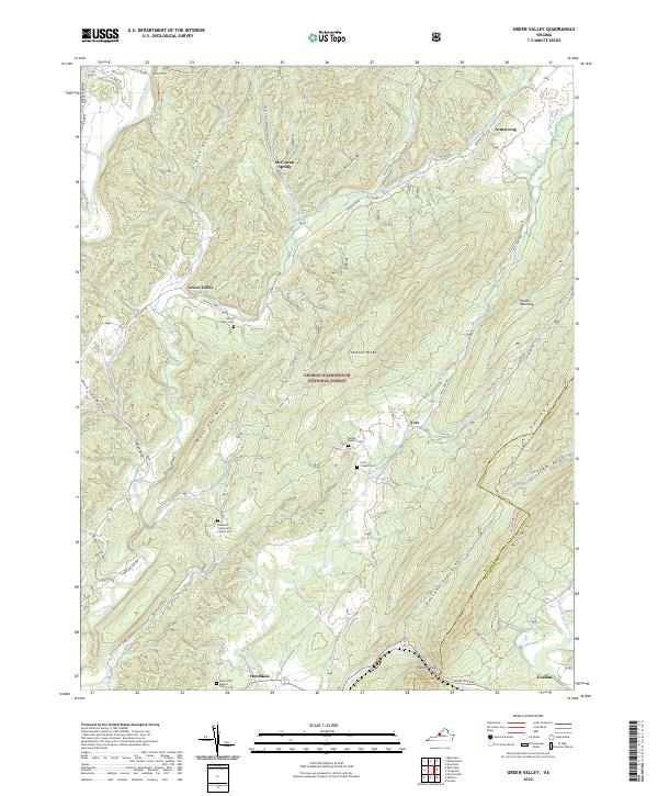
1969 Map of Green Valley
USGS Topo · Published 1991About this map
George Washington National Forest blankets the steep ridges and narrow valleys of this portion of the Allegheny Mountains during the late 1960s. The landscape is defined by the sharp parallel ridges of Chestnut Ridge, Walker Mountain, and Sideling Mountain, which channel the flow of the Cowpasture River and its numerous tributaries. Small rural communities and family-named landmarks are tucked into the more level ground near water sources, such as Armstrong in the north and Hotchkiss along the southern border.
Find a feature on this map
37 named features on this map. Tap any name to fly to it.
Don’t see what you’re looking for? This feature index may not catch every label — zoom into the map to look around manually.
Map Details
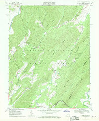
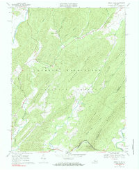
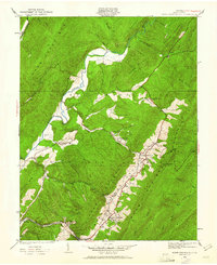
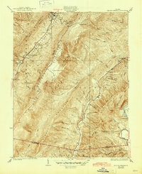
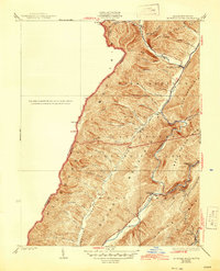
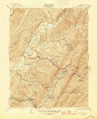
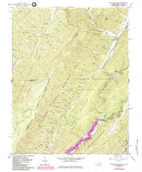
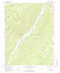
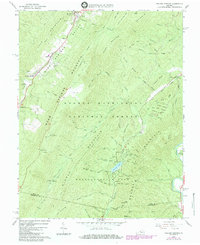
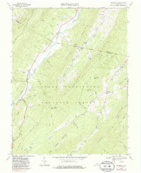
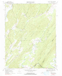
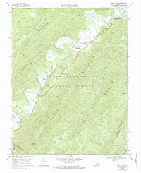
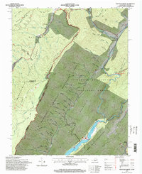
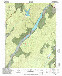
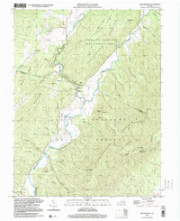
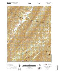
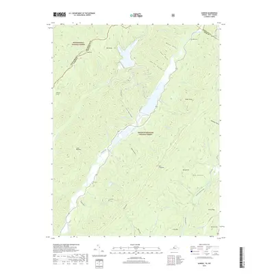
Editions of this 1969 Green Valley Map
5 editions found
Historical Maps of Goshen Through Time
59 maps found

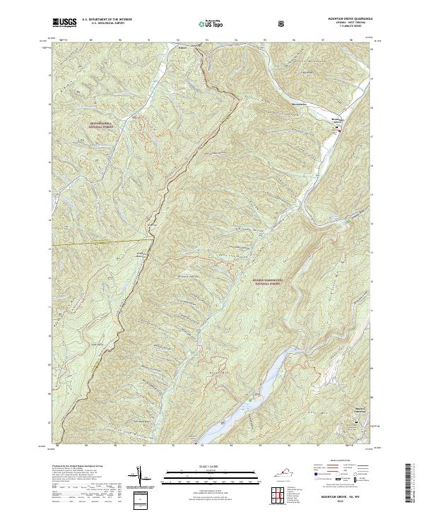
1930 Mountain Grove
Bath County, VA
1930 Warm Springs Run
Bath County, VA
1931 Healing Springs
Bath County, VA
1933 Healing Springs
Bath County, VA
1933 Mountain Grove
Bath County, VA
1933 Warm Springs Run
Bath County, VA

1946 Williamsville
Bath County, VA
1949 Williamsville
Bath County, VA
1961 Mountain Grove
Bath County, VA
1961 Sunrise
Bath County, VA
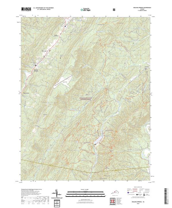
1966 Healing Springs
Bath County, VA
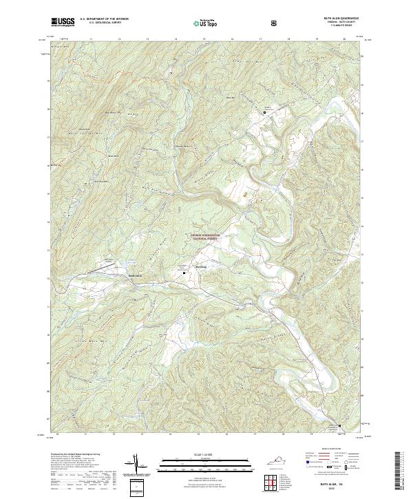
1968 Bath Alum
Bath County, VA
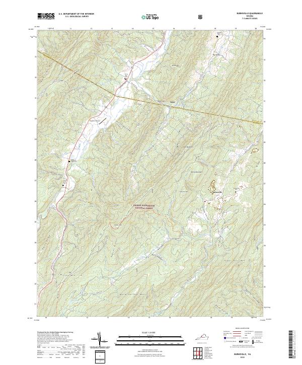
1969 Burnsville
Bath County, VA
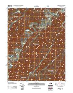
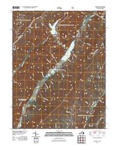
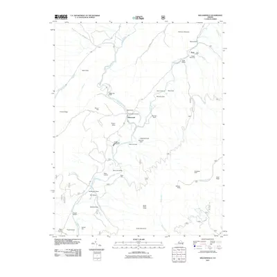
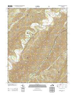
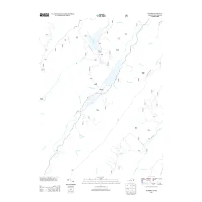
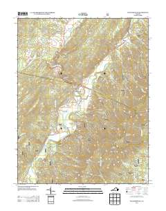
1969 Green Valley
Bath County, VA
1969 Nimrod Hall
Bath County, VA
1969 Williamsville
Bath County, VA
1995 Mountain Grove
Bath County, VA
1995 Sunrise
Bath County, VA
1999 Williamsville
Bath County, VA
2011 Bath Alum
Bath County, VA
2011 Burnsville
Bath County, VA
2011 Green Valley
Bath County, VA
2011 Healing Springs
Bath County, VA
2011 Mountain Grove
Bath County, VA
2011 Nimrod Hall
Bath County, VA
2011 Sunrise
Bath County, VA
2011 Williamsville
Bath County, VA
2013 Bath Alum
Bath County, VA
2013 Burnsville
Bath County, VA
2013 Green Valley
Bath County, VA
2013 Healing Springs
Bath County, VA
2013 Mountain Grove
Bath County, VA
2013 Nimrod Hall
Bath County, VA
2013 Sunrise
Bath County, VA
2013 Williamsville
Bath County, VA
2016 Bath Alum
Bath County, VA
2016 Burnsville
Bath County, VA
2016 Green Valley
Bath County, VA
2016 Healing Springs
Bath County, VA
2016 Mountain Grove
Bath County, VA
2016 Nimrod Hall
Bath County, VA
2016 Sunrise
Bath County, VA
2016 Williamsville
Bath County, VA
2019 Bath Alum
Bath County, VA
2019 Burnsville
Bath County, VA
2019 Green Valley
Bath County, VA

2019 Healing Springs
Bath County, VA
2019 Mountain Grove
Bath County, VA
2019 Nimrod Hall
Bath County, VA
2019 Sunrise
Bath County, VA
2019 Williamsville
Bath County, VA
2022 Bath Alum
Bath County, VA
2022 Burnsville
Bath County, VA
2022 Green Valley
Bath County, VA
2022 Healing Springs
Bath County, VA
2022 Mountain Grove
Bath County, VA
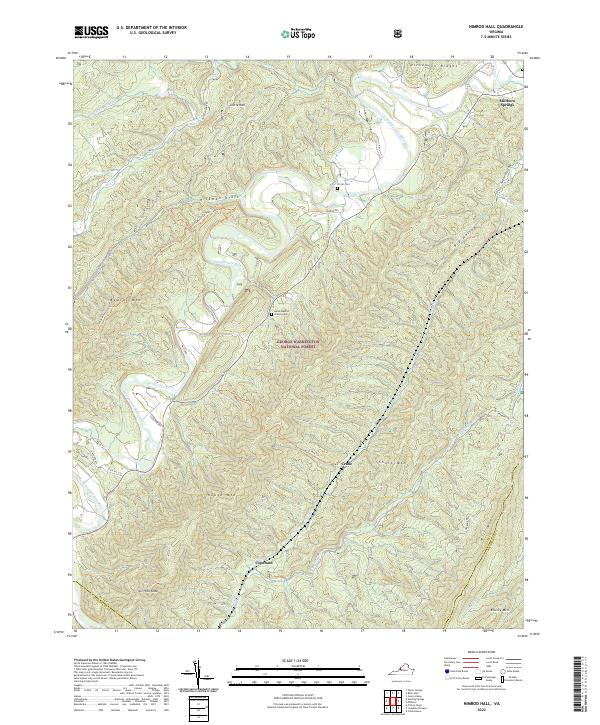
2022 Nimrod Hall
Bath County, VA
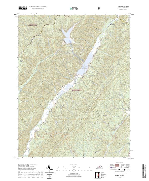
2022 Sunrise
Bath County, VA
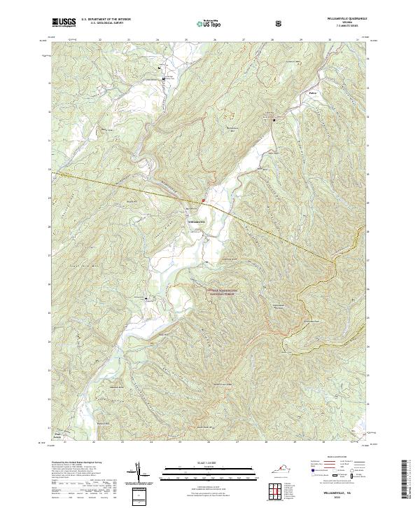
2022 Williamsville
Bath County, VA