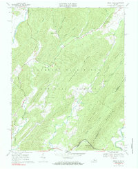
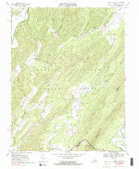
1969 Map of Green Valley
USGS Topo · Published 1984About this map
The Cowpasture River and Calfpasture River define the opposing corners of this landscape within the George Washington National Forest. Small mountain settlements like Armstrong, Green Valley, and Hotchkiss are linked by narrow winding roads and a Jeep Trail, illustrating the remote character of the Bath and Rockbridge county line during the late 1960s. The presence of rural congregations, including Cloverdale Ch, Mill Creek Ch, and Rehobeth Ch, suggests a community structure centered around these small valleys.
Find a feature on this map
38 named features on this map. Tap any name to fly to it.
Don’t see what you’re looking for? This feature index may not catch every label — zoom into the map to look around manually.
Map Details
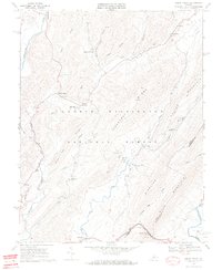
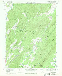
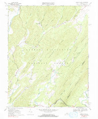
Editions of this 1969 Green Valley Map
5 editions found
Other maps of this area

1894 · Staunton
USGS Topo · 1:125,000

1894 · Natural Bridge
USGS Topo · 1:125,000

1894 · Lexington
USGS Topo · 1:125,000

1901 · Monterey
USGS Topo · 1:125,000

1932 · Lexington
USGS Topo · 1:48,000

1937 · Lexington
USGS Topo · 1:62,500

1943 · Craigsville
USGS Topo · 1:62,500

1945 · Craigsville
USGS Topo · 1:62,500

1946 · Millboro
USGS Topo · 1:62,500

1946 · Williamsville
USGS Topo · 1:62,500