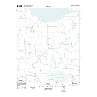
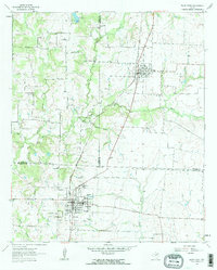
2010 Map of Green Valley
USGS Topo · Published 2010About this map
Green Valley and the northern reaches of Denton anchor this landscape just as suburban expansion began to meet the large-scale water management projects of North Texas. The map illustrates a transitional geography where traditional ranching and aviation land uses coexist with major hydrological features. To the north, Ray Roberts Lake is held back by the Lake Ray Roberts Dam, while the southern portion of the quadrangle shows the marshy inlets of Lake Lewisville.
Find a feature on this map
51 named features on this map. Tap any name to fly to it.
Don’t see what you’re looking for? This feature index may not catch every label — zoom into the map to look around manually.
Map Details
Editions of this 2010 Green Valley Map
This is the sole edition of this map. No revisions or reprints were ever made.
Other maps of this area
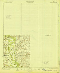
1929 · Frisco
USGS Topo · 1:62,500

1954 · Sherman
USGS Topo · 1:250,000

1958 · Sherman
USGS Topo · 1:250,000
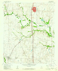
1960 · Sanger
USGS Topo · 1:24,000
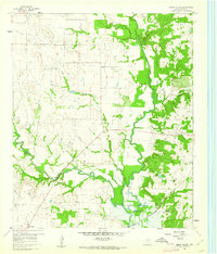
1960 · Green Valley
USGS Topo · 1:24,000
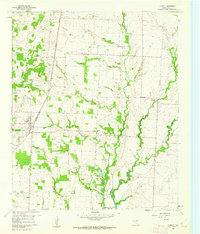
1960 · Aubrey
USGS Topo · 1:24,000
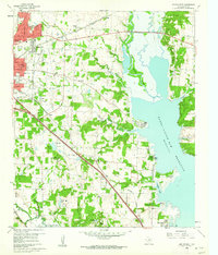
1960 · Denton East
USGS Topo · 1:24,000
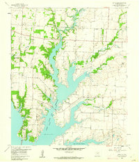
1960 · Little Elm
USGS Topo · 1:24,000
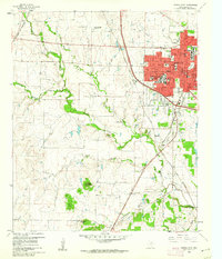
1960 · Denton West
USGS Topo · 1:24,000
1961 · Pilot Point
USGS Topo · 1:24,000