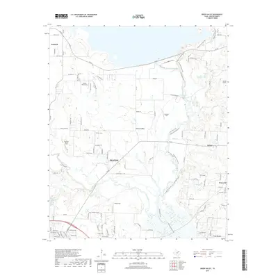
2019 Map of Green Valley
USGS Topo · Published 2019About this map
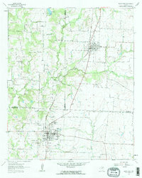
The Elm Fork Trinity River and the southern reaches of Ray Roberts Lake dominate the northern landscape of this Texas survey, where the waters are bridged by FM 455 and a network of recreation trails. These include the Concrete Trail and several stretches of the Equestrian Multiuse Trail that wind through the river valley. The map reveals a high concentration of private airfields and landing strips, such as Vultures Row Airport, Warschun Ranch Airport, and Hartlee Field, reflecting the area's rural aviation culture. Residential growth is evident in the cluster of small settlements like Green Valley, Krugerville, and Cross Roads, which sit between the larger hubs of Denton and Aubrey. This intersection of water management, recreational infrastructure, and aviation corridors characterizes the transition between the expanding suburbs and the older river valley landscape.
Find a feature on this map
106 named features on this map. Tap any name to fly to it.
Don’t see what you’re looking for? This feature index may not catch every label — zoom into the map to look around manually.
Map Details
Editions of this 2019 Green Valley Map
This is the sole edition of this map. No revisions or reprints were ever made.
Other maps of this area
1929 · Frisco
USGS Topo · 1:62,500

1954 · Sherman
USGS Topo · 1:250,000

1958 · Sherman
USGS Topo · 1:250,000
1960 · Sanger
USGS Topo · 1:24,000
1960 · Green Valley
USGS Topo · 1:24,000
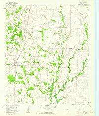
1960 · Aubrey
USGS Topo · 1:24,000
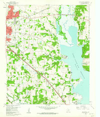
1960 · Denton East
USGS Topo · 1:24,000
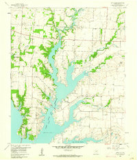
1960 · Little Elm
USGS Topo · 1:24,000
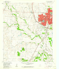
1960 · Denton West
USGS Topo · 1:24,000
1961 · Pilot Point
USGS Topo · 1:24,000