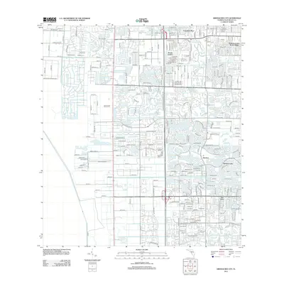
2012 Map of Greenacres City
USGS Topo · Published 2012About this map
South Florida National Cem occupies a central position on this landscape, reflecting the suburban expansion and planned development of Palm Beach County in the early twenty-first century. The map illustrates a transition from the established neighborhoods of Poincianna Place and Florida Gardens to the newer, water-centric residential enclaves like Rainbow Lakes, Aberdeen, and Sun Valley. This era is defined by intricate street patterns and man-made water features, such as Lake Island Dr and Osprey Pond Ln, which weave through the residential blocks.
Find a feature on this map
152 named features on this map. Tap any name to fly to it.
Don’t see what you’re looking for? This feature index may not catch every label — zoom into the map to look around manually.
Map Details
Editions of this 2012 Greenacres City Map
This is the sole edition of this map. No revisions or reprints were ever made.
Other maps of this area

1945 · Greenacres City
USGS Topo · 1:24,000

1945 · Lake Worth
USGS Topo · 1:24,000

1946 · Palm Beach Farms
USGS Topo · 1:24,000

1946 · Palm Beach
USGS Topo · 1:24,000

1947 · Delmar Farms
USGS Topo · 1:24,000

1949 · Lake Worth
USGS Topo · 1:24,000

1949 · Palm Beach Farms
USGS Topo · 1:24,000

1949 · Delmar Farms
USGS Topo · 1:24,000

1950 · Delray Beach
USGS Topo · 1:24,000

1950 · Greenacres City
USGS Topo · 1:24,000