
1949 Map of Greenacres
USGS Topo · Published 1961About this map
The industrial and agricultural landscape of the Spokane River valley comes into focus during the late 1940s, a period marked by significant post-war infrastructure. The presence of the massive Naval Supply Depot near Velox and the Aluminum Rolling Mill at Trentwood illustrates the region's contribution to national defense and manufacturing. These industrial sites are linked by a dense network of competing rail lines, including the Great Northern and the Chicago Milwaukee St Paul and Pacific, which traverse the valley floor from Opportunity through Greenacres toward the Washington-Idaho state line.
Find a feature on this map
78 named features on this map. Tap any name to fly to it.
Don’t see what you’re looking for? This feature index may not catch every label — zoom into the map to look around manually.
Map Details
Editions of this 1949 Greenacres Map
3 editions found
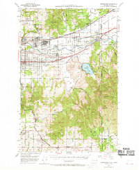
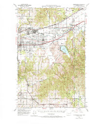
Other maps of this area

1901 · Spokane
USGS Topo · 1:125,000

1903 · Oakesdale
USGS Topo · 1:125,000

1903 · Rathdrum
USGS Topo · 1:125,000

1905 · Oakesdale
USGS Topo · 1:125,000

1943 · Mt Spokane
USGS Topo · 1:62,500

1949 · Deer Park
USGS Topo · 1:62,500

1950 · Spokane NE
USGS Topo · 1:24,000

1950 · Spokane SE
USGS Topo · 1:24,000

1950 · Mt Spokane
USGS Topo · 1:62,500

1950 · Spokane
USGS Topo · 1:62,500