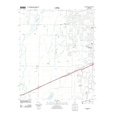
2011 Map of Greenbrier
USGS Topo · Published 2011About this map
Greenbrier and its surrounding countryside represent a significant intersection of traditional Alabama agriculture and modern infrastructure. The southern portion of the map is defined by the expansive Wheeler Lake and the dense network of waterways like Limestone Slough and Beaverdam Creek, which drain into the Tennessee River system. This transition from aquatic environments to upland settlements is marked by family-named landmarks and small community centers such as Oakland, Parker, and Manley Crossroads.
Find a feature on this map
106 named features on this map. Tap any name to fly to it.
Don’t see what you’re looking for? This feature index may not catch every label — zoom into the map to look around manually.
Map Details
Editions of this 2011 Greenbrier Map
This is the sole edition of this map. No revisions or reprints were ever made.
Other maps of this area

1888 · Huntsville
USGS Topo · 1:125,000

1892 · Huntsville
USGS Topo · 1:125,000

1935 · Athens
USGS Topo · 1:24,000

1936 · Jeff
USGS Topo · 1:24,000

1936 · Capshaw
USGS Topo · 1:24,000

1936 · Triana
USGS Topo · 1:24,000

1936 · Madison
USGS Topo · 1:24,000

1936 · Decatur
USGS Topo · 1:24,000

1936 · Mason Ridge
USGS Topo · 1:24,000

1936 · Tanner
USGS Topo · 1:24,000