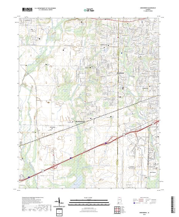
2024 Map of Greenbrier
USGS Topo · Published 2024About this map
The Wheeler National Wildlife Refuge dominates the southern landscape of this area, where the Tennessee River's reach creates a complex network of wetlands including Limestone Slough, Beaverdam Swamp, and Wild Hog Swamp. The boundary between Limestone and Madison counties cuts through a region defined by rapid modern infrastructure and deep-rooted family history. The vast grounds of the Huntsville International Airport-Carl T Jones Field serve as a major hub, while small historic clusters like Belle Mina, Greenbrier, and Burgreen Gin persist alongside growing residential developments in Madison.
Find a feature on this map
70 named features on this map. Tap any name to fly to it.
Don’t see what you’re looking for? This feature index may not catch every label — zoom into the map to look around manually.
Map Details
Editions of this 2024 Greenbrier Map
This is the sole edition of this map. No revisions or reprints were ever made.
Other maps of this area

1888 · Huntsville
USGS Topo · 1:125,000

1892 · Huntsville
USGS Topo · 1:125,000

1935 · Athens
USGS Topo · 1:24,000

1936 · Jeff
USGS Topo · 1:24,000

1936 · Capshaw
USGS Topo · 1:24,000

1936 · Triana
USGS Topo · 1:24,000

1936 · Madison
USGS Topo · 1:24,000

1936 · Decatur
USGS Topo · 1:24,000

1936 · Mason Ridge
USGS Topo · 1:24,000

1936 · Tanner
USGS Topo · 1:24,000