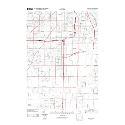
2013 Map of Greendale
USGS Topo · Published 2013About this map
General Mitchell International Airport anchors the eastern side of this Milwaukee County landscape, revealing the complex infrastructure of a modern aviation hub. The map provides a detailed view of the surrounding residential and industrial expansion south of Milwaukee, where the municipal grid of Saint Francis meets the winding paths of the Root River and Kinnickinnic River. This early 21st-century survey documents the high-density road network including W Oklahoma Ave and W Forest Home Ave, which navigate around established water bodies like Scout Lake and Mud Lake. Further south, the Milwaukee County House of Correction sits near the drainage of Oak Cr, illustrating the mix of civic institutions and suburban development that characterizes the area's transition towards the lakefront.
Find a feature on this map
113 named features on this map. Tap any name to fly to it.
Don’t see what you’re looking for? This feature index may not catch every label — zoom into the map to look around manually.
Map Details
Editions of this 2013 Greendale Map
This is the sole edition of this map. No revisions or reprints were ever made.
Other maps of this area

1891 · Bayview
USGS Topo · 1:62,500

1891 · Muskego
USGS Topo · 1:62,500

1892 · Milwaukee
USGS Topo · 1:62,500

1892 · Waukesha
USGS Topo · 1:62,500

1901 · Milwaukee
USGS Topo · 1:62,500

1901 · Waukesha
USGS Topo · 1:62,500

1901 · Bayview
USGS Topo · 1:62,500

1901 · Muskego
USGS Topo · 1:62,500

1906 · Waukesha
USGS Topo · 1:62,500

1906 · Milwaukee
USGS Topo · 1:62,500