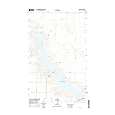
2014 Map of Greene
USGS Topo · Published 2014About this map
Lake Darling dominates the central valley of this Renville County landscape, where the waters are held in a long, narrow reservoir created by the damming of the Souris River. The small settlement of Greene sits along the western bluffs overlooking the lake, serving as a primary point of reference in this sparsely populated region. The terrain is characterized by the sharp contrast between the deep river valley and the surrounding high plains, which are etched with a geometric grid of rural routes such as 86th St NW and 47th Ave NW. This 2014 survey captures the area's modern topography, showing the intricate contour lines of the coulees and draws that feed into the river system, a critical detail for understanding the drainage patterns of the North Dakota prairie.
Find a feature on this map
21 named features on this map. Tap any name to fly to it.
Don’t see what you’re looking for? This feature index may not catch every label — zoom into the map to look around manually.
Map Details
Editions of this 2014 Greene Map
This is the sole edition of this map. No revisions or reprints were ever made.
Other maps of this area
1947 · Tolley
USGS Topo · 1:62,500
1948 · Mohall
USGS Topo · 1:24,000
1948 · Tolley
USGS Topo · 1:24,000
1949 · Tolley SE
USGS Topo · 1:24,000
1949 · Mohall SW
USGS Topo · 1:24,000
1949 · Grano SW
USGS Topo · 1:24,000
1949 · Greene
USGS Topo · 1:24,000
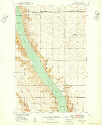
1949 · Grano
USGS Topo · 1:24,000
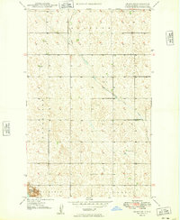
1949 · Grano NE
USGS Topo · 1:24,000
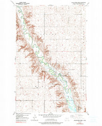
1949 · Mouse River Park
USGS Topo · 1:24,000