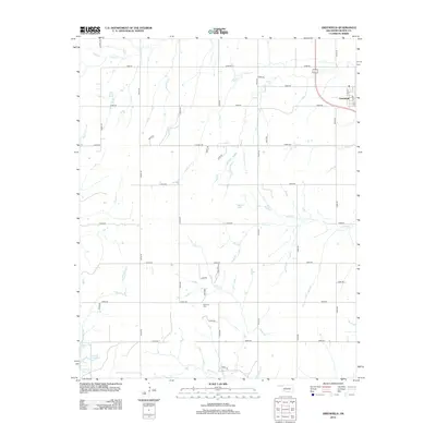
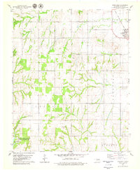
2013 Map of Greenfield
USGS Topo · Published 2013About this map
The town of Greenfield sits at the intersection of local routes in the northeastern corner of this Oklahoma landscape, defined by a grid of rural roads and seasonal watercourses. The territory is drained by several named creeks, including Relay Cr, Squaw Cr, and Horse Cr, which wind between the SECTION lines of the regional survey. Genealogists and local historians will find the Richland Cem located along E0940 RD, providing a specific point of interest for family research. In the southwest, American Horse Lake serves as a significant hydrologic feature, while smaller bodies of water like Spring Lake are scattered throughout the quadrangle. The map documents the persistent agricultural grid established during earlier settlement eras, showing the density of farm roads such as n2540 RD and e0890 RD that facilitate movement across this Blaine County terrain.
Find a feature on this map
36 named features on this map. Tap any name to fly to it.
Don’t see what you’re looking for? This feature index may not catch every label — zoom into the map to look around manually.
Map Details
Editions of this 2013 Greenfield Map
This is the sole edition of this map. No revisions or reprints were ever made.
Other maps of this area
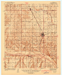
1942 · Geary
USGS Topo · 1:62,500

1955 · Clinton
USGS Topo · 1:250,000

1957 · Clinton
USGS Topo · 1:250,000
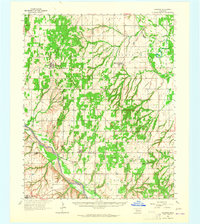
1964 · Oakwood
USGS Topo · 1:62,500
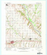
1964 · Weatherford
USGS Topo · 1:62,500
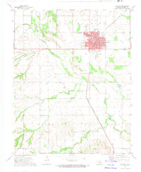
1972 · Watonga
USGS Topo · 1:24,000
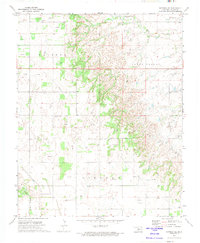
1972 · Watonga SE
USGS Topo · 1:24,000
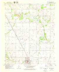
1979 · Geary North
USGS Topo · 1:24,000
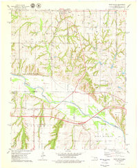
1979 · Geary South
USGS Topo · 1:24,000
1979 · Greenfield
USGS Topo · 1:24,000