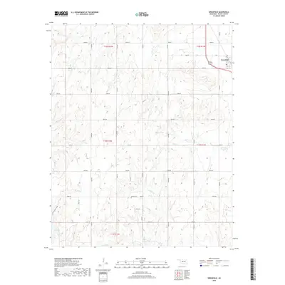
2018 Map of Greenfield
USGS Topo · Published 2018About this map
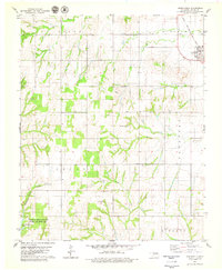
Greenfield sits at the intersection of US-270 and US-281, serving as the primary settlement in this section of Blaine County. The landscape is defined by a series of drainage systems, most notably Horse Cr and Lariat Cr, which cut through the southern portion of the quadrangle. To the southwest, the terrain becomes more distinct where American Horse Canyon and American Horse Lake provide a sharp contrast to the surrounding section lines and agricultural layout. Local history and genealogy are anchored by the Richland Cem, located centrally along E0940 RD. The map reflects the organized grid of the Public Land Survey System, with township boundaries like t14n r12w and t15n r11w clearly delineating the rural territory. This 2018 survey illustrates the persistent importance of the section-line road network, such as n2540 RD and e0890 RD, in maintaining the connectivity of this Oklahoma farming landscape.
Find a feature on this map
31 named features on this map. Tap any name to fly to it.
Don’t see what you’re looking for? This feature index may not catch every label — zoom into the map to look around manually.
Map Details
Editions of this 2018 Greenfield Map
This is the sole edition of this map. No revisions or reprints were ever made.
Other maps of this area
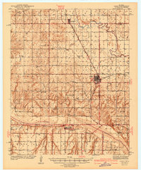
1942 · Geary
USGS Topo · 1:62,500

1955 · Clinton
USGS Topo · 1:250,000

1957 · Clinton
USGS Topo · 1:250,000
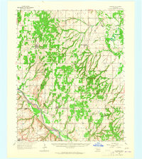
1964 · Oakwood
USGS Topo · 1:62,500
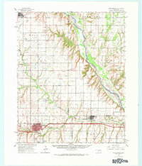
1964 · Weatherford
USGS Topo · 1:62,500
1972 · Watonga
USGS Topo · 1:24,000
1972 · Watonga SE
USGS Topo · 1:24,000
1979 · Geary North
USGS Topo · 1:24,000
1979 · Geary South
USGS Topo · 1:24,000
1979 · Greenfield
USGS Topo · 1:24,000