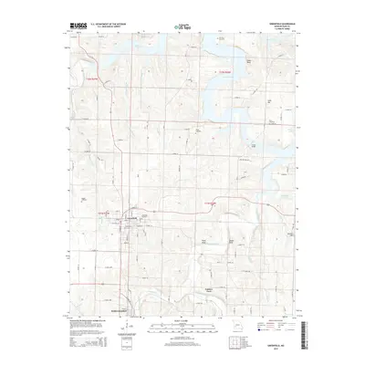
2015 Map of Greenfield
USGS Topo · Published 2015About this map
Greenfield serves as a central hub of this Dade County landscape, where organized street grids like N Grand St and W College St transition into the rural reaches of the Ozark Plateau. The northern portion of the map is defined by the reaching fingers of Stockton Lake, a significant water body whose irregular shoreline creates prominent terrain features such as Shaw Bluff and Sand Mtn. To the south, the terrain becomes more dissected by watercourses like Turnback Creek and Limestone Creek, leading toward the smaller settlement of South Greenfield.
Find a feature on this map
62 named features on this map. Tap any name to fly to it.
Don’t see what you’re looking for? This feature index may not catch every label — zoom into the map to look around manually.
Map Details
Editions of this 2015 Greenfield Map
This is the sole edition of this map. No revisions or reprints were ever made.
Other maps of this area
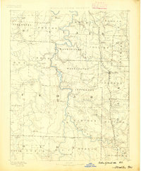
1886 · Stockton
USGS Topo · 1:125,000
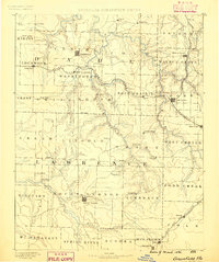
1886 · Greenfield
USGS Topo · 1:125,000
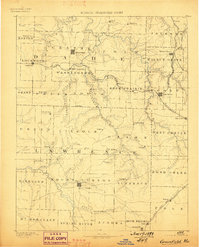
1888 · Greenfield
USGS Topo · 1:125,000
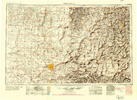
1954 · Springfield
USGS Topo · 1:250,000
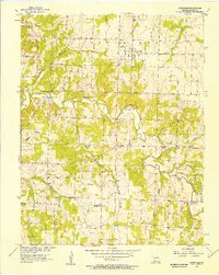
1955 · Dadeville
USGS Topo · 1:24,000
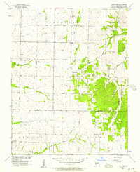
1956 · Kings Point
USGS Topo · 1:24,000
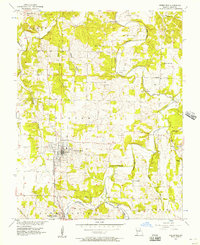
1956 · Greenfield
USGS Topo · 1:24,000
1956 · Lockwood
USGS Topo · 1:24,000
1956 · Bona
USGS Topo · 1:24,000
1956 · South Greenfield
USGS Topo · 1:24,000