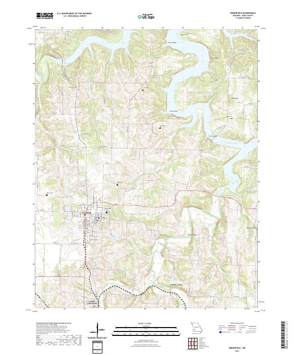
2021 Map of Greenfield
USGS Topo · Published 2021About this map
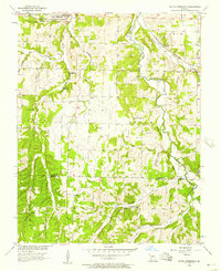
The Dade County Courthouse stands as the central hub of this Missouri landscape, anchoring the town of Greenfield near the center of the sheet. To the south, the community of South Greenfield marks the intersection of the regional road network and local creek systems. This area is defined by the winding waters of Turnback Creek, which travels through the southern hills and passes Fiddlers Ford before reaching the northern inundation of Stockton Lake.
Find a feature on this map
85 named features on this map. Tap any name to fly to it.
Don’t see what you’re looking for? This feature index may not catch every label — zoom into the map to look around manually.
Map Details
Editions of this 2021 Greenfield Map
This is the sole edition of this map. No revisions or reprints were ever made.
Other maps of this area

1886 · Stockton
USGS Topo · 1:125,000

1886 · Greenfield
USGS Topo · 1:125,000

1888 · Greenfield
USGS Topo · 1:125,000

1954 · Springfield
USGS Topo · 1:250,000

1955 · Dadeville
USGS Topo · 1:24,000
1956 · Kings Point
USGS Topo · 1:24,000

1956 · Greenfield
USGS Topo · 1:24,000
1956 · Lockwood
USGS Topo · 1:24,000
1956 · Bona
USGS Topo · 1:24,000
1956 · South Greenfield
USGS Topo · 1:24,000