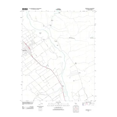
2012 Map of Greenfield
USGS Topo · Published 2012About this map
The Salinas River valley in Monterey County anchors this 2012 study, documenting the agricultural and transportation networks of the Salinas Valley at the start of the 21st century. The city of Greenfield dominates the western portion of the sheet, with its grid of streets such as Elm Ave and Oak Ave established adjacent to the critical U.S. 101 corridor. The geography is defined by the contrast between the flat valley floor and the rugged drainage systems to the east, where numerous canyons like Agua Grande Canyon and San Carlos Canyon feed toward the river basin.
Find a feature on this map
45 named features on this map. Tap any name to fly to it.
Don’t see what you’re looking for? This feature index may not catch every label — zoom into the map to look around manually.
Map Details
Editions of this 2012 Greenfield Map
This is the sole edition of this map. No revisions or reprints were ever made.
Other maps of this area

1912 · Metz
USGS Topo · 1:31,680

1915 · Soledad
USGS Topo · 1:62,500

1919 · King City
USGS Topo · 1:62,500

1919 · Junipero Serra
USGS Topo · 1:62,500

1921 · Metz
USGS Topo · 1:62,500

1939 · King City
USGS Topo · 1:62,500

1940 · Metz
USGS Topo · 1:62,500

1940 · Soledad
USGS Topo · 1:62,500

1941 · Junipero Serra
USGS Topo · 1:62,500

1947 · Metz
USGS Topo · 1:62,500