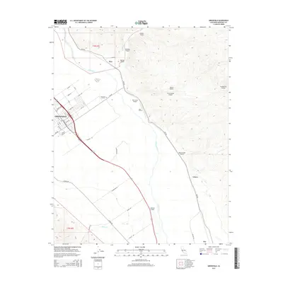
2015 Map of Greenfield
USGS Topo · Published 2015About this map
The Salinas River valley serves as the central corridor for this 2015 study, documenting the agricultural landscape and residential growth of Greenfield in Monterey County. The map captures the organized street grid of the city, including arterial roads like El Camino Real and Central Ave, while the eastern portion is dominated by the steep, dissected topography of the Gabilan Range. This upland area is defined by numerous drainage systems such as Lumber Canyon, San Carlos Canyon, and Agua Grande Canyon.
Find a feature on this map
49 named features on this map. Tap any name to fly to it.
Don’t see what you’re looking for? This feature index may not catch every label — zoom into the map to look around manually.
Map Details
Editions of this 2015 Greenfield Map
This is the sole edition of this map. No revisions or reprints were ever made.
Other maps of this area
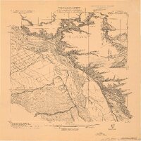
1912 · Metz
USGS Topo · 1:31,680
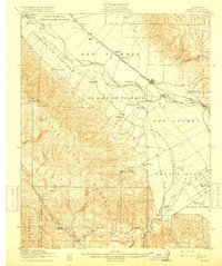
1915 · Soledad
USGS Topo · 1:62,500
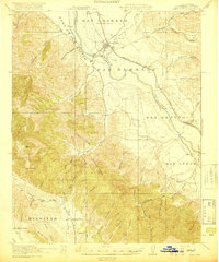
1919 · King City
USGS Topo · 1:62,500
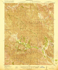
1919 · Junipero Serra
USGS Topo · 1:62,500
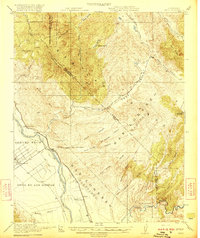
1921 · Metz
USGS Topo · 1:62,500
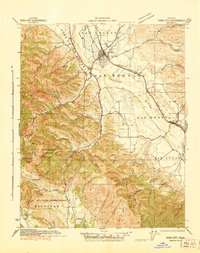
1939 · King City
USGS Topo · 1:62,500
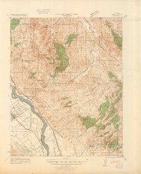
1940 · Metz
USGS Topo · 1:62,500
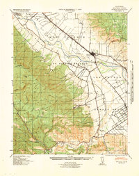
1940 · Soledad
USGS Topo · 1:62,500
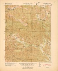
1941 · Junipero Serra
USGS Topo · 1:62,500
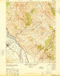
1947 · Metz
USGS Topo · 1:62,500