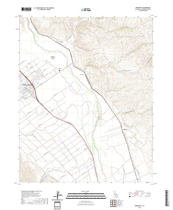
2021 Map of Greenfield
USGS Topo · Published 2021About this map
The Salinas River corridor defines this portion of Monterey County, where the valley floor meets the rising peaks of the Gabilan Range. Agricultural patterns are evident across the flatlands surrounding Greenfield, with a dense network of local roads such as Cherry Ave, Apple Ave, and Oak Ave serving the residential and farming areas. The town's grid is anchored by El Camino Real, while the Greenfield Cem sits on the northeastern edge of the settlement.
Find a feature on this map
49 named features on this map. Tap any name to fly to it.
Don’t see what you’re looking for? This feature index may not catch every label — zoom into the map to look around manually.
Map Details
Editions of this 2021 Greenfield Map
This is the sole edition of this map. No revisions or reprints were ever made.
Other maps of this area

1912 · Metz
USGS Topo · 1:31,680

1915 · Soledad
USGS Topo · 1:62,500

1919 · King City
USGS Topo · 1:62,500

1919 · Junipero Serra
USGS Topo · 1:62,500

1921 · Metz
USGS Topo · 1:62,500

1939 · King City
USGS Topo · 1:62,500

1940 · Metz
USGS Topo · 1:62,500

1940 · Soledad
USGS Topo · 1:62,500

1941 · Junipero Serra
USGS Topo · 1:62,500

1947 · Metz
USGS Topo · 1:62,500