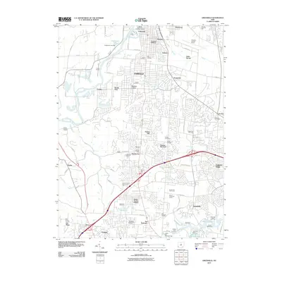
2010 Map of Greenhills
USGS Topo · Published 2010About this map
The Great Miami River flows through the northern reaches of this Hamilton area landscape, framing a dense network of suburban development and industrial centers. Growing outwards from Fairfield and Forest Park, the map reveals a corridor of aviation and commerce at the Hamilton-Fairfield Airport and the Hamilton Enterprise Park. Genealogists will find significant records in the numerous burial grounds documented here, including the Saint Marys Cemetery, Jewish Cemetery, and the Fairfield Trustees Cemetery.
Find a feature on this map
98 named features on this map. Tap any name to fly to it.
Don’t see what you’re looking for? This feature index may not catch every label — zoom into the map to look around manually.
Map Details
Editions of this 2010 Greenhills Map
This is the sole edition of this map. No revisions or reprints were ever made.
Other maps of this area

1898 · East Cincinnati
USGS Topo · 1:62,500

1904 · Mason
USGS Topo · 1:62,500

1906 · Mason
USGS Topo · 1:62,500

1914 · East Cincinnati
USGS Topo · 1:62,500

1914 · West Cincinnati
USGS Topo · 1:62,500

1915 · Hamilton
USGS Topo · 1:62,500

1917 · Hamilton
USGS Topo · 1:62,500
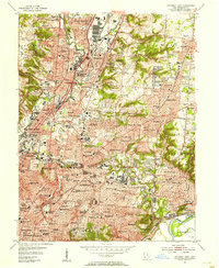
1953 · Cincinnati East
USGS Topo · 1:24,000

1953 · Cincinnati West
USGS Topo · 1:24,000

1953 · Cincinnati
USGS Topo · 1:250,000