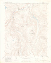
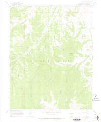
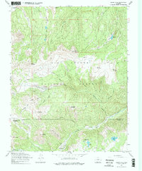
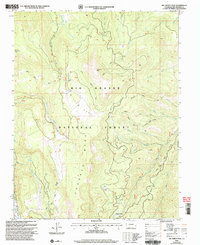
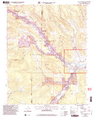
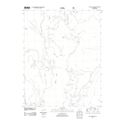
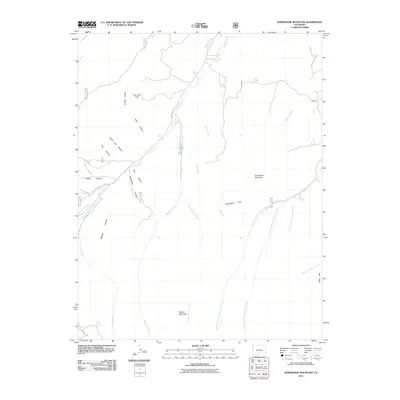
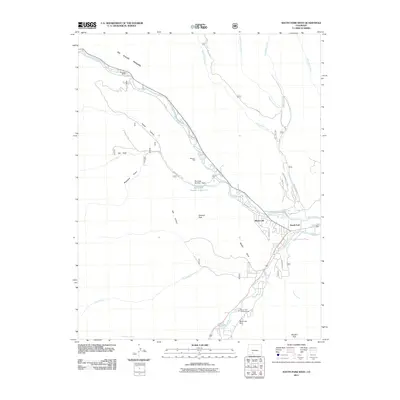
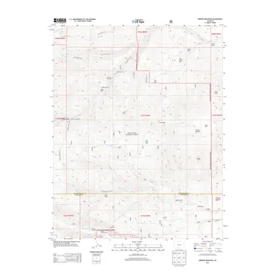
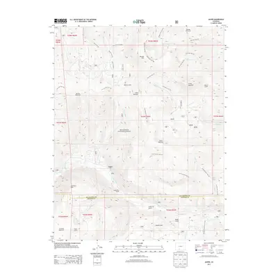
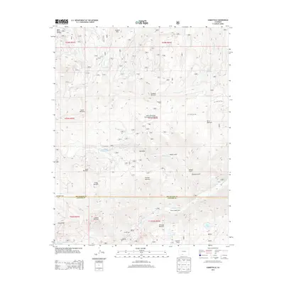
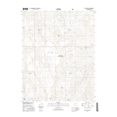
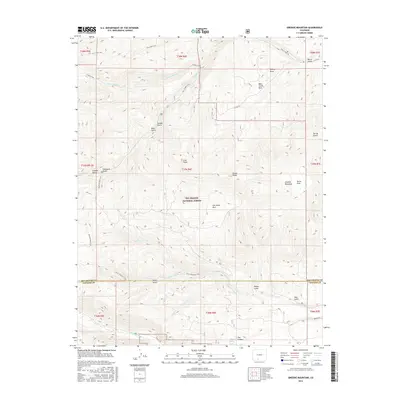
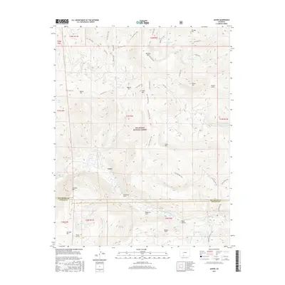
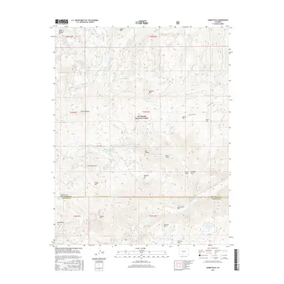
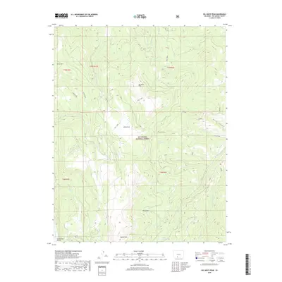
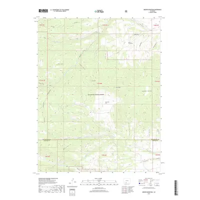
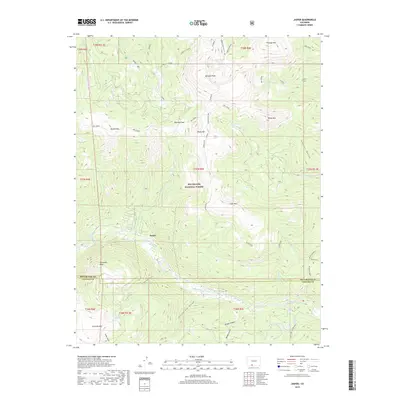
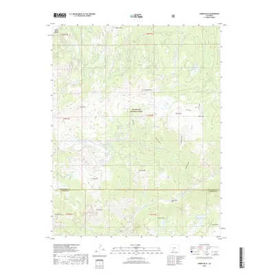
1967 Map of Greenie Mountain
USGS Topo · Published 1986About this map
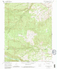
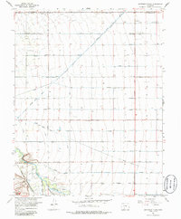
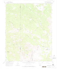
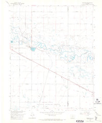
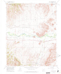
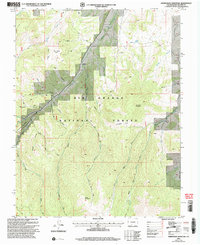
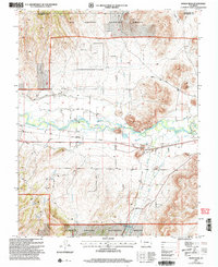
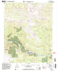
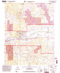
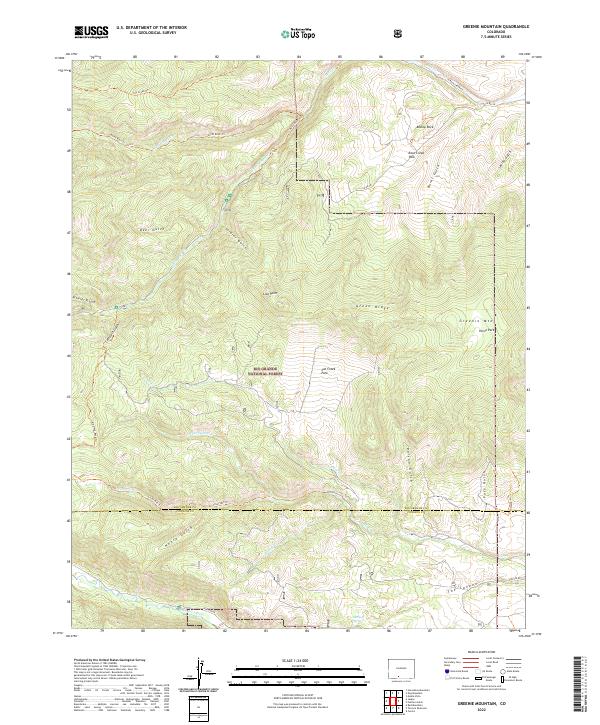
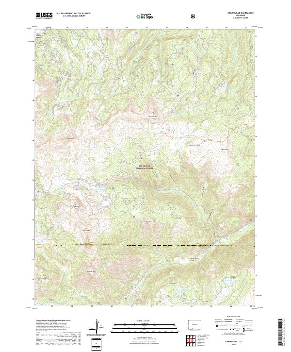
The Rio Grande National Forest dominates this high-altitude landscape where the headwaters of the Alamosa River and numerous forks of Rock Creek carve through the Southern Rockies. The area serves as a focal point for mid-century outdoor recreation and mountain research, evidenced by specialized sites like the Phillips University Camp and the secluded Lost Cabin Ranch. A network of primitive transport routes, including the Driveway and various Jeep Trails, indicates how forestry and water management shaped human access here. Resource extraction and monitoring are visible through a Prospect near Lion Point and a Gaging Station on Rock Creek, while the presence of the Ranger Station underscores the administrative importance of this mountain territory. The boundary between Rio Grande and Conejos counties bisects the southern reaches, cutting across the rugged drainage basins of Cat Creek and the Alamosa River.
Find a feature on this map
49 named features on this map. Tap any name to fly to it.
Don’t see what you’re looking for? This feature index may not catch every label — zoom into the map to look around manually.
Map Details
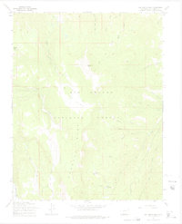
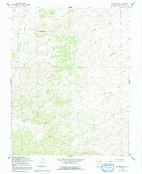
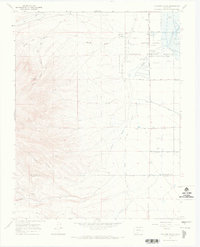
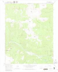
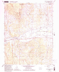
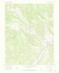
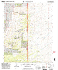
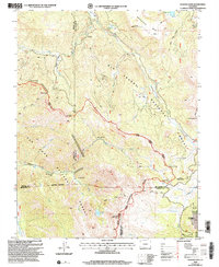
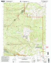
Editions of this 1967 Greenie Mountain Map
4 editions found
Historical Maps of Conejos County Through Time
107 maps found
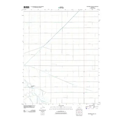
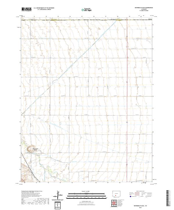
1964 Sevenmile Plaza
Rio Grande County, CO
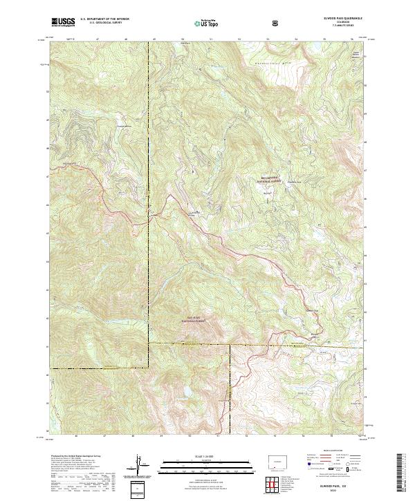
1966 Elwood Pass
Rio Grande County, CO
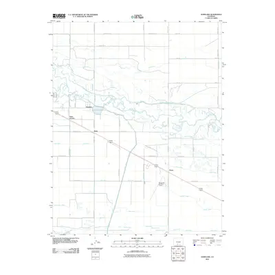
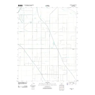
1966 Homelake
Rio Grande County, CO
1966 Indian Head
Rio Grande County, CO
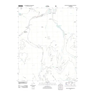
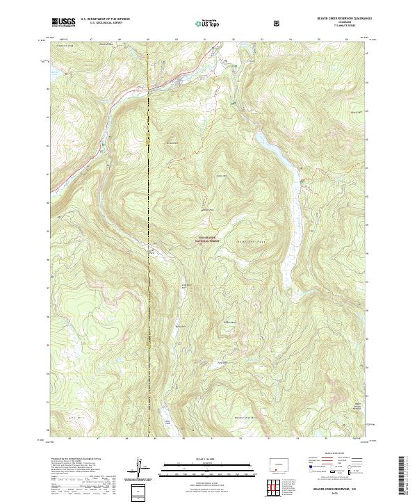
1967 Beaver Creek Reservoir
Rio Grande County, CO
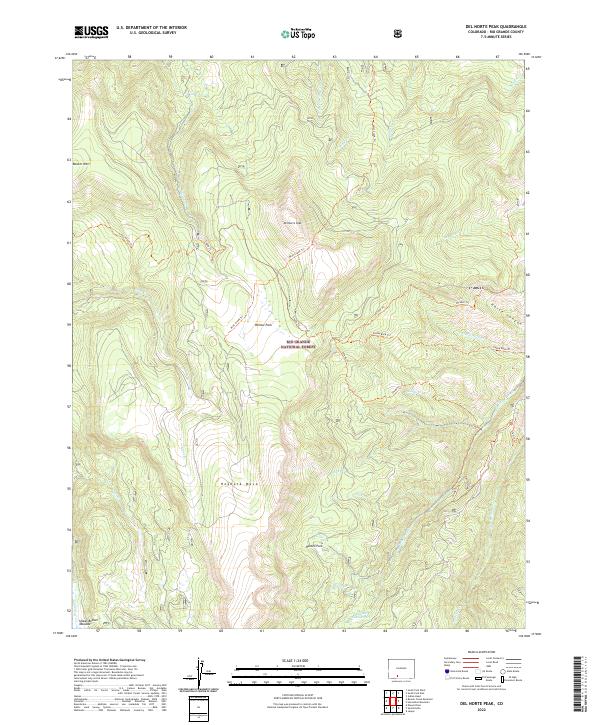
1967 Del Norte Peak
Rio Grande County, CO
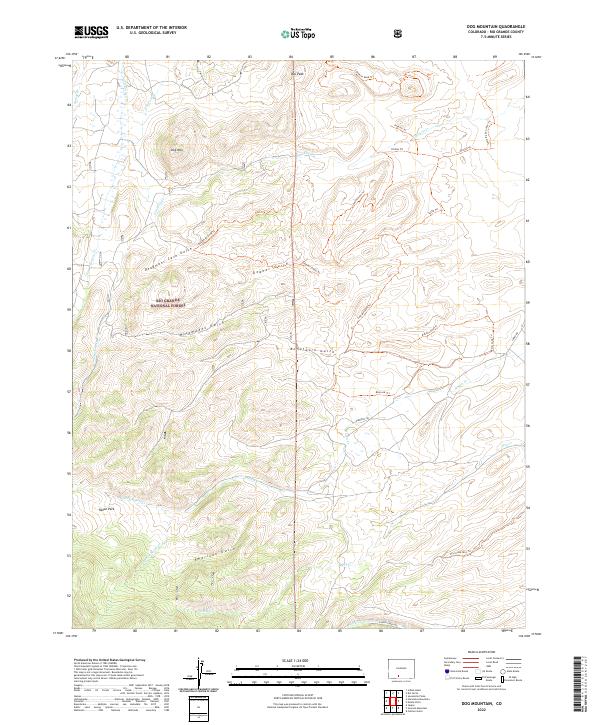
1967 Dog Mountain
Rio Grande County, CO
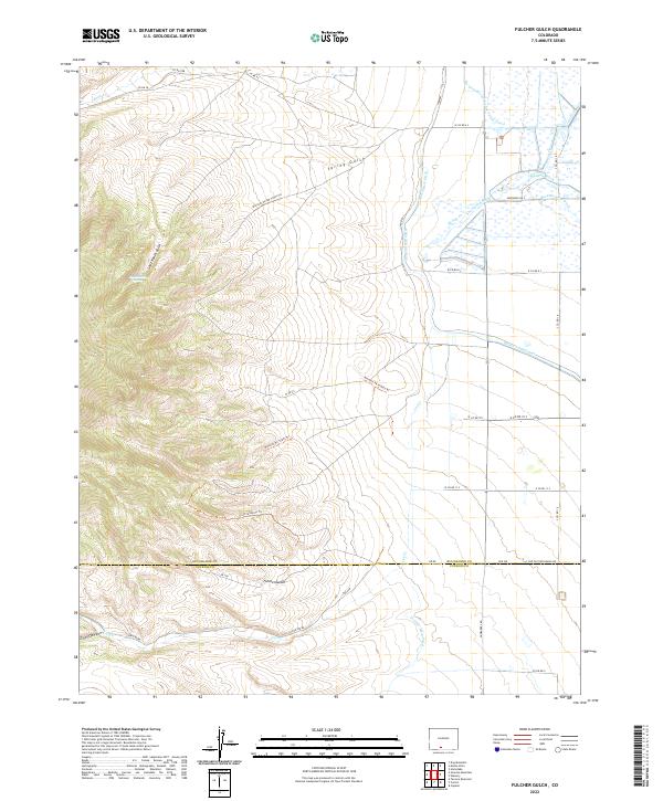
1967 Fulcher Gulch
Rio Grande County, CO
1967 Greenie Mountain
Rio Grande County, CO
1967 Horseshoe Mountain
Rio Grande County, CO
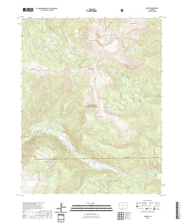
1967 Jasper
Rio Grande County, CO
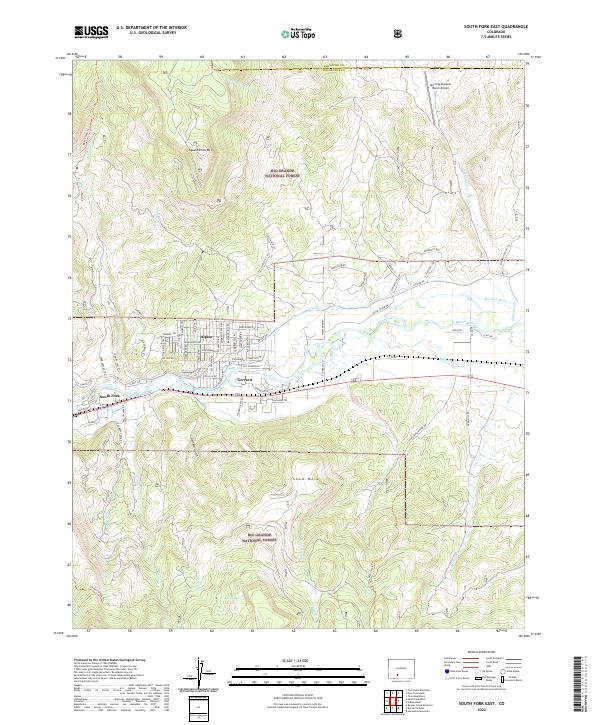
1967 South Fork East
Rio Grande County, CO
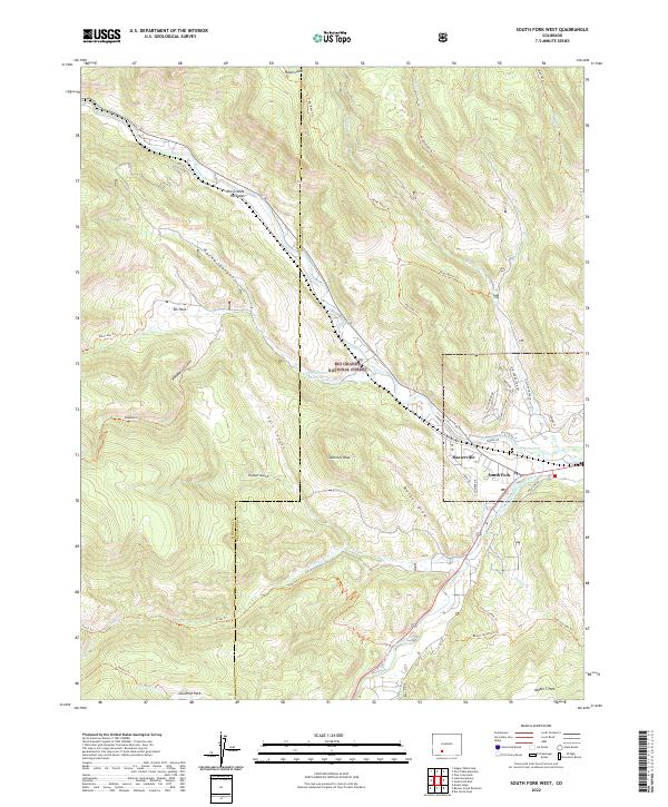
1967 South Fork West
Rio Grande County, CO
1967 Summitville
Rio Grande County, CO
1968 Center South
Rio Grande County, CO
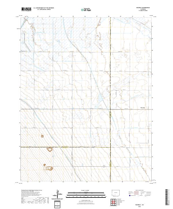
1969 Waverly
Rio Grande County, CO
2001 Beaver Creek Reservoir
Rio Grande County, CO
2001 Del Norte Peak
Rio Grande County, CO
2001 Dog Mountain
Rio Grande County, CO
2001 Elwood Pass
Rio Grande County, CO
2001 Greenie Mountain
Rio Grande County, CO
2001 Horseshoe Mountain
Rio Grande County, CO
2001 Indian Head
Rio Grande County, CO
2001 Jasper
Rio Grande County, CO
2001 South Fork East
Rio Grande County, CO
2001 South Fork West
Rio Grande County, CO
2001 Summitville
Rio Grande County, CO
2010 Center South
Rio Grande County, CO
2010 Fulcher Gulch
Rio Grande County, CO
2010 Homelake
Rio Grande County, CO
2010 Sevenmile Plaza
Rio Grande County, CO
2010 Waverly
Rio Grande County, CO
2011 Beaver Creek Reservoir
Rio Grande County, CO
2011 Del Norte Peak
Rio Grande County, CO
2011 Dog Mountain
Rio Grande County, CO
2011 Elwood Pass
Rio Grande County, CO
2011 Greenie Mountain
Rio Grande County, CO
2011 Horseshoe Mountain
Rio Grande County, CO
2011 Indian Head
Rio Grande County, CO
2011 Jasper
Rio Grande County, CO
2011 South Fork East
Rio Grande County, CO
2011 South Fork West
Rio Grande County, CO
2011 Summitville
Rio Grande County, CO
2013 Beaver Creek Reservoir
Rio Grande County, CO
2013 Center South
Rio Grande County, CO
2013 Del Norte Peak
Rio Grande County, CO
2013 Dog Mountain
Rio Grande County, CO
2013 Elwood Pass
Rio Grande County, CO
2013 Fulcher Gulch
Rio Grande County, CO
2013 Greenie Mountain
Rio Grande County, CO
2013 Homelake
Rio Grande County, CO
2013 Horseshoe Mountain
Rio Grande County, CO
2013 Indian Head
Rio Grande County, CO
2013 Jasper
Rio Grande County, CO
2013 Sevenmile Plaza
Rio Grande County, CO
2013 South Fork East
Rio Grande County, CO
2013 South Fork West
Rio Grande County, CO
2013 Summitville
Rio Grande County, CO
2013 Waverly
Rio Grande County, CO
2016 Beaver Creek Reservoir
Rio Grande County, CO
2016 Center South
Rio Grande County, CO
2016 Del Norte Peak
Rio Grande County, CO
2016 Dog Mountain
Rio Grande County, CO
2016 Elwood Pass
Rio Grande County, CO
2016 Fulcher Gulch
Rio Grande County, CO
2016 Greenie Mountain
Rio Grande County, CO
2016 Homelake
Rio Grande County, CO
2016 Horseshoe Mountain
Rio Grande County, CO
2016 Indian Head
Rio Grande County, CO
2016 Jasper
Rio Grande County, CO
2016 Sevenmile Plaza
Rio Grande County, CO
2016 South Fork East
Rio Grande County, CO
2016 South Fork West
Rio Grande County, CO
2016 Summitville
Rio Grande County, CO
2016 Waverly
Rio Grande County, CO
2019 Beaver Creek Reservoir
Rio Grande County, CO
2019 Center South
Rio Grande County, CO
2019 Del Norte Peak
Rio Grande County, CO
2019 Dog Mountain
Rio Grande County, CO
2019 Elwood Pass
Rio Grande County, CO
2019 Fulcher Gulch
Rio Grande County, CO
2019 Greenie Mountain
Rio Grande County, CO
2019 Homelake
Rio Grande County, CO
2019 Horseshoe Mountain
Rio Grande County, CO
2019 Indian Head
Rio Grande County, CO
2019 Jasper
Rio Grande County, CO
2019 Sevenmile Plaza
Rio Grande County, CO
2019 South Fork East
Rio Grande County, CO
2019 South Fork West
Rio Grande County, CO
2019 Summitville
Rio Grande County, CO
2019 Waverly
Rio Grande County, CO
2022 Beaver Creek Reservoir
Rio Grande County, CO
2022 Center South
Rio Grande County, CO
2022 Del Norte Peak
Rio Grande County, CO
2022 Dog Mountain
Rio Grande County, CO
2022 Elwood Pass
Rio Grande County, CO
2022 Fulcher Gulch
Rio Grande County, CO
2022 Greenie Mountain
Rio Grande County, CO
2022 Homelake
Rio Grande County, CO
2022 Horseshoe Mountain
Rio Grande County, CO
2022 Indian Head
Rio Grande County, CO
2022 Jasper
Rio Grande County, CO
2022 Sevenmile Plaza
Rio Grande County, CO
2022 South Fork East
Rio Grande County, CO
2022 South Fork West
Rio Grande County, CO
2022 Summitville
Rio Grande County, CO
2022 Waverly
Rio Grande County, CO