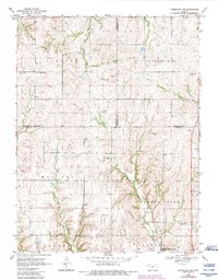
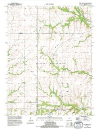
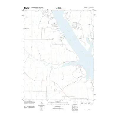
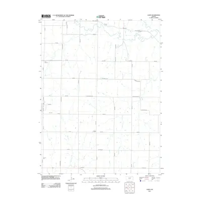
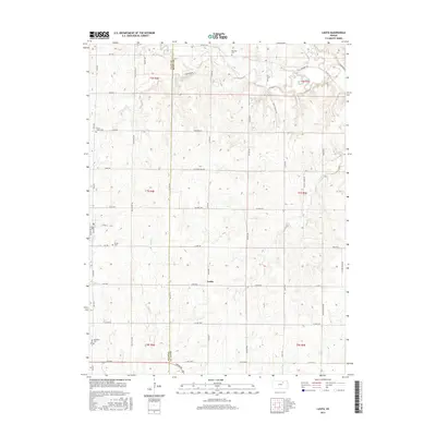
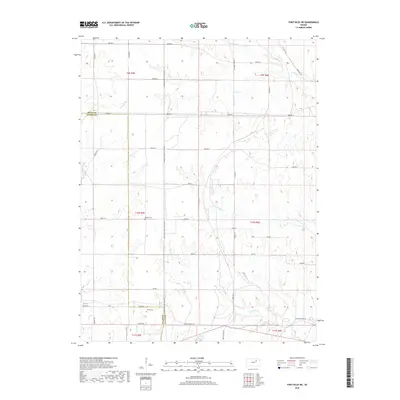
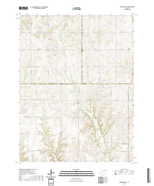
1968 Map of Greenleaf SE
USGS Topo · Published 1983About this map
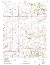
Sulphur Creek and Swede Creek carve a complex network of valleys across this rural landscape where Marshall, Washington, and Riley counties meet. The settlement pattern here is defined by small community hubs rather than large towns, anchored by landmarks like the Townhall and the Peach Grove Ch. These social and civic centers, often situated at crossroads, suggest a well-established agrarian society that relied on local institutions for governance and worship.
Find a feature on this map
21 named features on this map. Tap any name to fly to it.
Don’t see what you’re looking for? This feature index may not catch every label — zoom into the map to look around manually.
Map Details
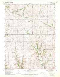
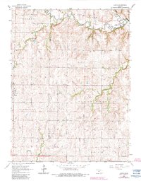
Editions of this 1968 Greenleaf SE Map
2 editions found
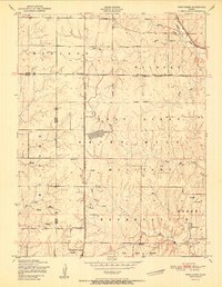
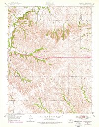
Historical Maps of Riley County Through Time
33 maps found
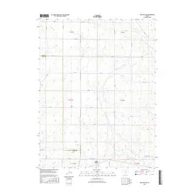
1951 Wind Creek
Riley County, KS
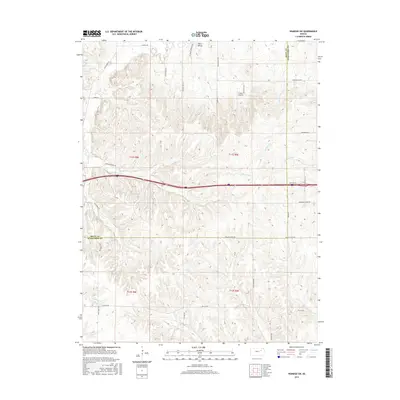
1953 Wamego SW
Riley County, KS
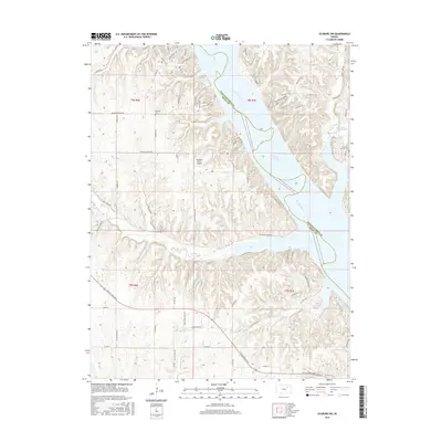
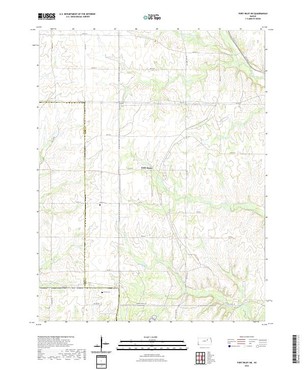
1955 Fort Riley NE
Riley County, KS
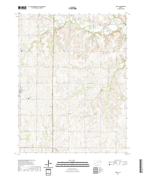
1963 Lasita
Riley County, KS
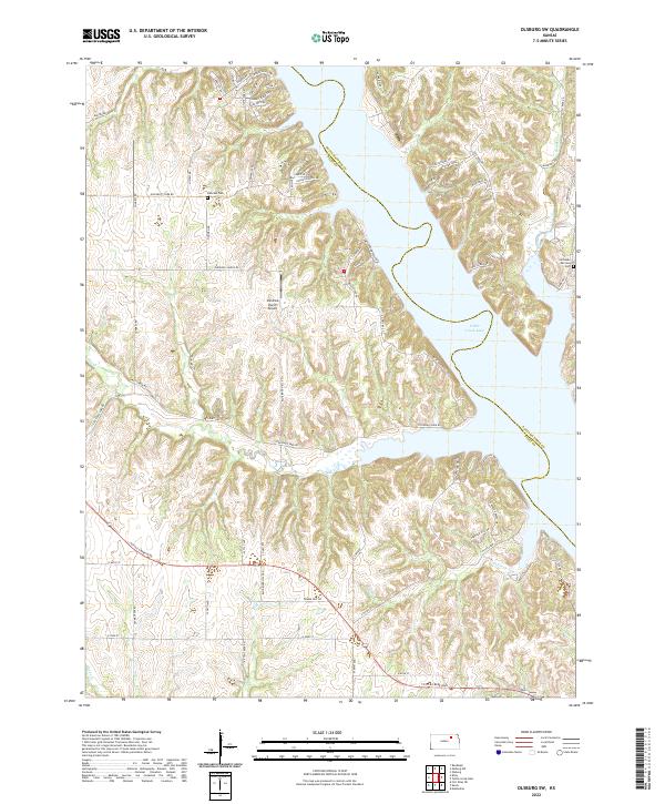
1964 Olsburg SW
Riley County, KS
1968 Greenleaf SE
Riley County, KS
1982 Fort Riley NE
Riley County, KS
1992 Fort Riley NE
Riley County, KS
2009 Fort Riley NE
Riley County, KS
2009 Greenleaf SE
Riley County, KS
2009 Lasita
Riley County, KS
2009 Olsburg SW
Riley County, KS
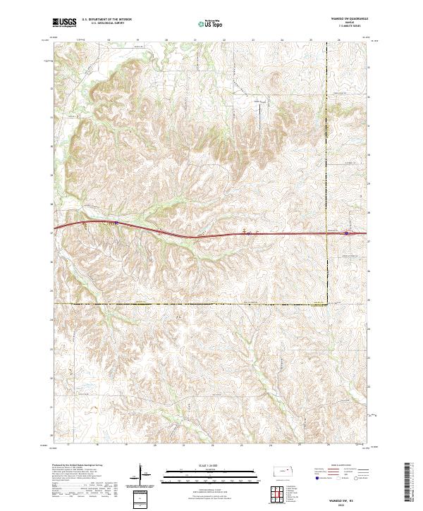
2009 Wamego SW
Riley County, KS
2012 Fort Riley NE
Riley County, KS
2012 Greenleaf SE
Riley County, KS
2012 Lasita
Riley County, KS
2012 Olsburg SW
Riley County, KS
2012 Wamego SW
Riley County, KS
2015 Greenleaf SE
Riley County, KS
2015 Lasita
Riley County, KS
2015 Olsburg SW
Riley County, KS
2015 Wamego SW
Riley County, KS
2016 Fort Riley NE
Riley County, KS
2018 Fort Riley NE
Riley County, KS
2018 Greenleaf SE
Riley County, KS
2018 Lasita
Riley County, KS
2018 Olsburg SW
Riley County, KS
2018 Wamego SW
Riley County, KS
2022 Fort Riley NE
Riley County, KS
2022 Greenleaf SE
Riley County, KS
2022 Lasita
Riley County, KS
2022 Olsburg SW
Riley County, KS
2022 Wamego SW
Riley County, KS