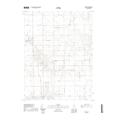
2021 Map of Greenview
USGS Topo · Published 2021About this map
Greenview serves as the primary hub in this central Illinois landscape, where the grid of Menard County roads meets the established routes of W State Rte 29 and Middletown Blacktop Ave. The terrain is defined by the winding paths of Grove Cr and Indian Cr, which cut through the agricultural sections and provide natural relief to the surrounding farmsteads. These waterways were likely central to the early settlement patterns of the region, as evidenced by the placement of local landmarks like Sugar Grove Cem.
Find a feature on this map
69 named features on this map. Tap any name to fly to it.
Don’t see what you’re looking for? This feature index may not catch every label — zoom into the map to look around manually.
Map Details
Editions of this 2021 Greenview Map
This is the sole edition of this map. No revisions or reprints were ever made.
Other maps of this area

1907 · Springfield
USGS Topo · 1:62,500

1909 · Tallula
USGS Topo · 1:62,500

1930 · Springfield
USGS Topo · 1:62,500

1933 · Petersburg
USGS Topo · 1:62,500

1938 · Petersburg
USGS Topo · 1:62,500

1940 · Tallula
USGS Topo · 1:62,500

1940 · Springfield
USGS Topo · 1:62,500

1948 · Mason City
USGS Topo · 1:62,500

1949 · Mason City
USGS Topo · 1:62,500

1958 · Peoria
USGS Topo · 1:250,000