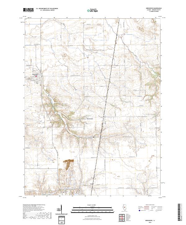
2024 Map of Greenview
USGS Topo · Published 2024About this map
Greenview serves as the primary hub in this Menard County landscape, situated along W State Rte 29 and defined by a grid of streets including N State St and W Douglas St. The surrounding countryside is woven with small waterways like Grove Creek and Pike Creek, which likely shaped the placement of early settlements and roads. To the south, the village of Sweetwater and the locality of Culver anchor smaller rural clusters, connected by family-named routes such as Wilkens Rd and John Hubly Rd. Local history is preserved at sites like Sugar Grove Cem and Indian Point Cem, providing valuable touchpoints for genealogists tracing the area's residents. The map also shows former educational landmarks like Hedgerow School Rd, reflecting the historical distribution of rural schoolhouses across this agricultural prairie.
Find a feature on this map
73 named features on this map. Tap any name to fly to it.
Don’t see what you’re looking for? This feature index may not catch every label — zoom into the map to look around manually.
Map Details
Editions of this 2024 Greenview Map
This is the sole edition of this map. No revisions or reprints were ever made.
Other maps of this area

1907 · Springfield
USGS Topo · 1:62,500

1909 · Tallula
USGS Topo · 1:62,500

1930 · Springfield
USGS Topo · 1:62,500

1933 · Petersburg
USGS Topo · 1:62,500

1938 · Petersburg
USGS Topo · 1:62,500

1940 · Tallula
USGS Topo · 1:62,500

1940 · Springfield
USGS Topo · 1:62,500

1948 · Mason City
USGS Topo · 1:62,500

1949 · Mason City
USGS Topo · 1:62,500

1958 · Peoria
USGS Topo · 1:250,000