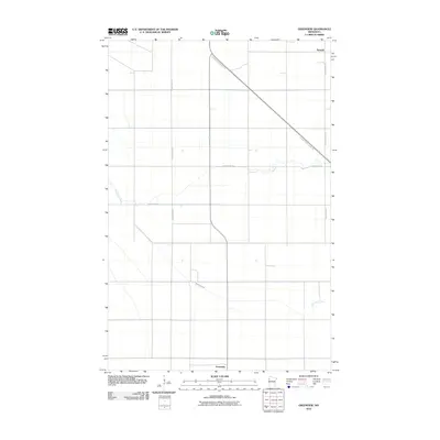
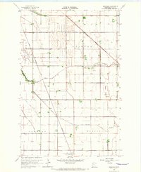
2010 Map of Greenview
USGS Topo · Published 2010About this map
Burwell and Greenview anchor this portion of Polk County, where the landscape is defined by the rigid grid of rural transport and the meandering path of Burnham Creek. The map documents a classic Red River Valley agricultural pattern, with wide-reaching county routes like County Hwy-45 and County Hwy-214 facilitating travel across the flat terrain. A notable deviation from the section-line roads is the Agassiz Recreational Trl, which cuts a long diagonal across the northeast, following the path of a former rail corridor. This transition from industrial transport to recreation reflects the changing utility of the Minnesota landscape in the early 21st century. While the settlements themselves are small, the placement of Burnham Creek across the southern half provides a natural focal point in a region otherwise dominated by geometric field divisions and straight-line infrastructure.
Find a feature on this map
7 named features on this map. Tap any name to fly to it.
Don’t see what you’re looking for? This feature index may not catch every label — zoom into the map to look around manually.
Map Details
Editions of this 2010 Greenview Map
This is the sole edition of this map. No revisions or reprints were ever made.
Other maps of this area
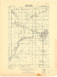
1918 · Red Lake Falls
USGS Topo · 1:62,500
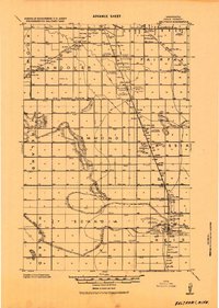
1919 · Beltrami
USGS Topo · 1:62,500
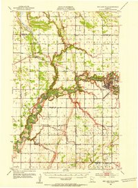
1952 · Red Lake Falls
USGS Topo · 1:62,500

1952 · Grand Forks
USGS Topo · 1:250,000
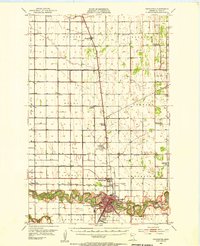
1953 · Crookston
USGS Topo · 1:62,500

1956 · Grand Forks
USGS Topo · 1:250,000
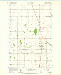
1964 · Beltrami
USGS Topo · 1:24,000
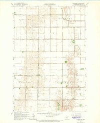
1964 · Beltrami SW
USGS Topo · 1:24,000
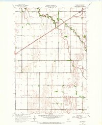
1964 · Girard
USGS Topo · 1:24,000
1964 · Greenview
USGS Topo · 1:24,000