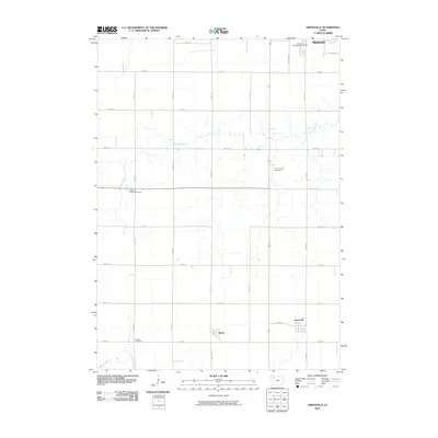
2010 Map of Greenville
USGS Topo · Published 2010About this map
The small unincorporated communities of Greenville and Rossie anchor this section of Clay County, Iowa, reflecting the enduring grid of agricultural section lines and rural homesteads. The landscape is defined by the winding paths of Prairie Creek and Willow Creek, which interrupt the orderly layout of roads like 400th St and 180th Ave. For genealogists and local historians, the map preserves the locations of vital community landmarks, including the Bethlehem Lutheran Cemetery, Prairie Creek Cemetery, and Lincoln Cemetery. At the northern edge, the transition into the southern outskirts of Spencer is marked by the Spencer Municipal Golf Course, showing the intersection of municipal development and the expansive prairie farmland that characterizes this region of northwest Iowa.
Find a feature on this map
27 named features on this map. Tap any name to fly to it.
Don’t see what you’re looking for? This feature index may not catch every label — zoom into the map to look around manually.
Map Details
Editions of this 2010 Greenville Map
This is the sole edition of this map. No revisions or reprints were ever made.
Other maps of this area

1954 · Fairmont
USGS Topo · 1:250,000

1954 · Fort Dodge
USGS Topo · 1:250,000

1957 · Fort Dodge
USGS Topo · 1:250,000

1958 · Fort Dodge
USGS Topo · 1:250,000

1958 · Fairmont
USGS Topo · 1:250,000

1966 · Spencer
USGS Topo · 1:24,000

1966 · Gillett Grove
USGS Topo · 1:24,000

1966 · Greenville
USGS Topo · 1:24,000

1966 · Dickens
USGS Topo · 1:24,000

1970 · Everly
USGS Topo · 1:24,000