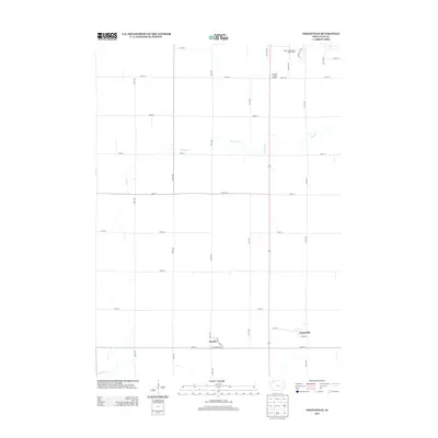
2013 Map of Greenville
USGS Topo · Published 2013About this map
Greenville and Rossie anchor this rural landscape in Clay County, representing small-town Iowa life as it appeared in the early 21st century. The map reveals the precise layout of these communities, with Rossie showing a structured street plan including Railway St, Main St, and Cottonwood Dr, suggesting a history tied to the transportation lines that once served the region. Outside the residential clusters, the terrain is defined by a grid of agricultural section lines and the natural wandering of Prairie Cr and Willow Cr. In the northern portion of the quadrangle, the presence of the Spencer Municipal Golf Course indicates the influence of nearby Spencer as it extends into the surrounding prairie. This 2013 survey is an essential document for understanding the intersection of local town identity and the larger agricultural system of Northwest Iowa.
Find a feature on this map
33 named features on this map. Tap any name to fly to it.
Don’t see what you’re looking for? This feature index may not catch every label — zoom into the map to look around manually.
Map Details
Editions of this 2013 Greenville Map
This is the sole edition of this map. No revisions or reprints were ever made.
Other maps of this area

1954 · Fairmont
USGS Topo · 1:250,000

1954 · Fort Dodge
USGS Topo · 1:250,000

1957 · Fort Dodge
USGS Topo · 1:250,000

1958 · Fort Dodge
USGS Topo · 1:250,000

1958 · Fairmont
USGS Topo · 1:250,000

1966 · Spencer
USGS Topo · 1:24,000

1966 · Gillett Grove
USGS Topo · 1:24,000

1966 · Greenville
USGS Topo · 1:24,000

1966 · Dickens
USGS Topo · 1:24,000

1970 · Everly
USGS Topo · 1:24,000