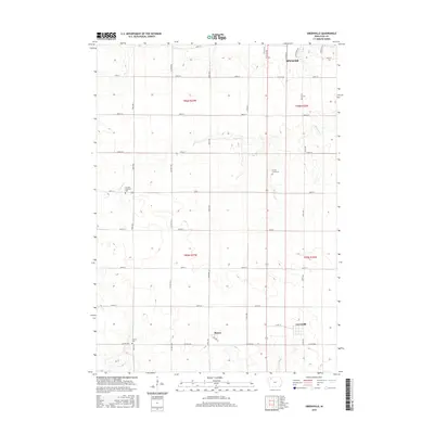
2015 Map of Greenville
USGS Topo · Published 2015About this map
The agricultural landscape of Clay County is defined by its precise section-line grid and the meandering path of Prairie Cr, which flows through the center of this region south of Spencer. This 2015 update illustrates a rural territory where small settlements like Greenville and Rossie serve as local anchors. In Greenville, the street plan remains compact, while Rossie is notably bisected by Railway St, reflecting the historical importance of rail transport in moving Iowa's grain. The map is a valuable resource for genealogists, as it identifies several established burial grounds across the townships, including Prairie Creek Cem, the Swedish Lutheran Cem, and Lincoln Cem. Beyond the residential clusters, the terrain is dominated by vast fields interlaced with secondary routes such as Co Hwy M38 and Co Hwy B53, showing the modern connectivity of this farming heartland.
Find a feature on this map
34 named features on this map. Tap any name to fly to it.
Don’t see what you’re looking for? This feature index may not catch every label — zoom into the map to look around manually.
Map Details
Editions of this 2015 Greenville Map
This is the sole edition of this map. No revisions or reprints were ever made.
Other maps of this area

1954 · Fairmont
USGS Topo · 1:250,000

1954 · Fort Dodge
USGS Topo · 1:250,000

1957 · Fort Dodge
USGS Topo · 1:250,000

1958 · Fort Dodge
USGS Topo · 1:250,000

1958 · Fairmont
USGS Topo · 1:250,000

1966 · Spencer
USGS Topo · 1:24,000

1966 · Gillett Grove
USGS Topo · 1:24,000

1966 · Greenville
USGS Topo · 1:24,000

1966 · Dickens
USGS Topo · 1:24,000

1970 · Everly
USGS Topo · 1:24,000