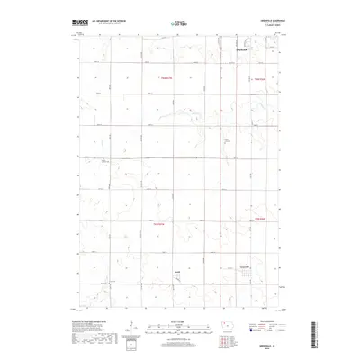
2018 Map of Greenville
USGS Topo · Published 2018About this map
Spencer occupies the northern edge of this survey, where the urban street grid of southern Clay County begins to give way to a structured agricultural landscape. The region is defined by a dense network of county roads and section lines, with the small settlements of Rossie and Greenville serving as local hubs along the southern reaches. These rural communities reflect the steady settlement patterns of the Iowa plains, maintaining their distinct identities amidst the wide fields.
Find a feature on this map
35 named features on this map. Tap any name to fly to it.
Don’t see what you’re looking for? This feature index may not catch every label — zoom into the map to look around manually.
Map Details
Editions of this 2018 Greenville Map
This is the sole edition of this map. No revisions or reprints were ever made.
Other maps of this area

1954 · Fairmont
USGS Topo · 1:250,000

1954 · Fort Dodge
USGS Topo · 1:250,000

1957 · Fort Dodge
USGS Topo · 1:250,000

1958 · Fort Dodge
USGS Topo · 1:250,000

1958 · Fairmont
USGS Topo · 1:250,000

1966 · Spencer
USGS Topo · 1:24,000

1966 · Gillett Grove
USGS Topo · 1:24,000

1966 · Greenville
USGS Topo · 1:24,000

1966 · Dickens
USGS Topo · 1:24,000

1970 · Everly
USGS Topo · 1:24,000