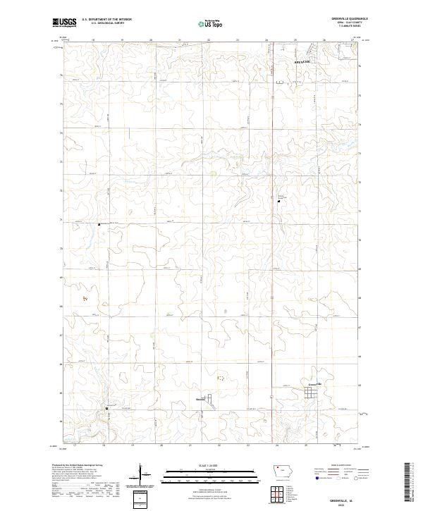
2022 Map of Greenville
USGS Topo · Published 2022About this map
Greenville and Rossie anchor this Clay County landscape, where the agricultural grid of northwest Iowa is defined by a dense network of range and township lines. The southern edge of Spencer reaches into the upper corner of the quadrangle, illustrating the expansion of the regional hub toward the drainage of Prairie Cr. This 2022 survey details the enduring rural infrastructure of the area, including the central role of the Railway St corridor in Rossie and the preservation of local heritage sites like the Swedish-Lutheran Cem and Lincoln Cem. The meandering paths of Prairie Cr and Willow Cr break the rigid geometry of the section roads, highlighting the natural hydrology that has influenced farmstead placement for generations. Genealogists will find the exact locations of several community burial grounds, such as Prairie Creek Cem, which remain as landmarks among the vast cultivated fields.
Find a feature on this map
35 named features on this map. Tap any name to fly to it.
Don’t see what you’re looking for? This feature index may not catch every label — zoom into the map to look around manually.
Map Details
Editions of this 2022 Greenville Map
This is the sole edition of this map. No revisions or reprints were ever made.
Other maps of this area

1954 · Fairmont
USGS Topo · 1:250,000

1954 · Fort Dodge
USGS Topo · 1:250,000

1957 · Fort Dodge
USGS Topo · 1:250,000

1958 · Fort Dodge
USGS Topo · 1:250,000

1958 · Fairmont
USGS Topo · 1:250,000

1966 · Spencer
USGS Topo · 1:24,000

1966 · Gillett Grove
USGS Topo · 1:24,000

1966 · Greenville
USGS Topo · 1:24,000

1966 · Dickens
USGS Topo · 1:24,000

1970 · Everly
USGS Topo · 1:24,000