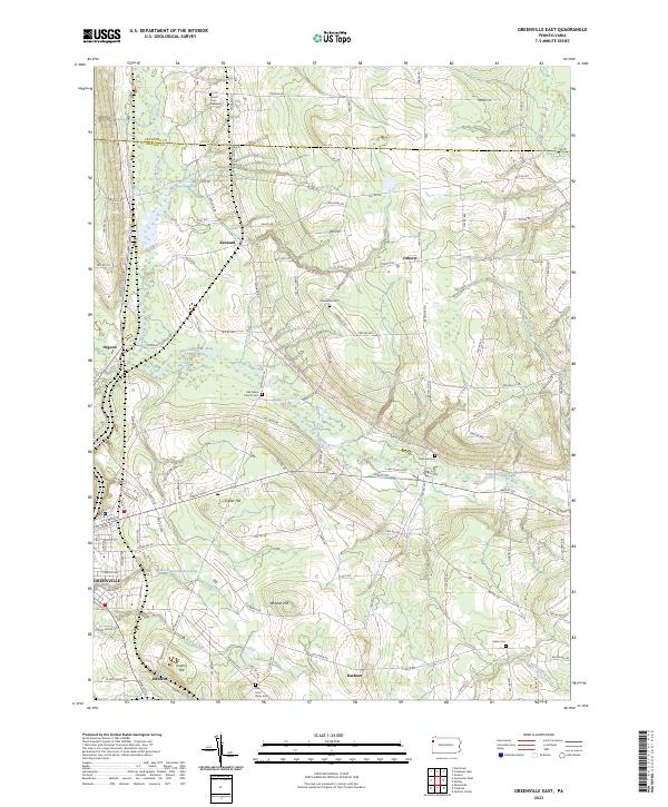
2023 Map of Greenville East
USGS Topo · Published 2023About this map
Greenville serves as the primary hub in this corner of Pennsylvania, where the landscape is defined by the winding course of the Little Shenango River and its numerous tributaries. The map documents a predominantly rural region marked by small clusters of settlement such as Kennard, Osborn, and Kashner. Genealogists will find a significant distribution of burial sites, including the Amish Cem Number 2, the centrally located Stevenson Cem, and the Old Salem Church Cem near the river.
Find a feature on this map
120 named features on this map. Tap any name to fly to it.
Don’t see what you’re looking for? This feature index may not catch every label — zoom into the map to look around manually.
Map Details
Editions of this 2023 Greenville East Map
This is the sole edition of this map. No revisions or reprints were ever made.
Other maps of this area

1906 · Linesville
USGS Topo · 1:62,500

1908 · Shenango
USGS Topo · 1:62,500

1908 · Linesville
USGS Topo · 1:62,500

1911 · Stoneboro
USGS Topo · 1:62,500

1913 · Stoneboro
USGS Topo · 1:62,500

1923 · Meadville
USGS Topo · 1:62,500

1925 · Meadville
USGS Topo · 1:62,500

1943 · Meadville
USGS Topo · 1:62,500

1943 · Stoneboro
USGS Topo · 1:62,500

1950 · Cleveland
USGS Topo · 1:250,000
Featured Places
- Salem, Sugar Grove Township
- Greenwood Township, PA
- Otter Creek Township, PA
- Perry Township, PA
- Hempfield Township, PA