
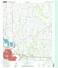
1963 Map of Greenville NE
USGS Topo · Published 1964About this map
Greenville serves as the focal point of this northeast Texas survey, showing a landscape defined by significant infrastructure and growing residential neighborhoods. To the north, the city is supported by a string of three major reservoirs: Greenville Reservoir No 3, Greenville Reservoir No 4, and Greenville Reservoir No 5, which are situated near the Filtration Plant. The rail network is particularly dense here, featuring the St Louis Southwestern, Missouri-Kansas-Texas, and Louisiana and Arkansas lines converging on the town.
Find a feature on this map
40 named features on this map. Tap any name to fly to it.
Don’t see what you’re looking for? This feature index may not catch every label — zoom into the map to look around manually.
Map Details
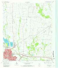
Editions of this 1963 Greenville NE Map
Other maps of this area

1953 · Texarkana
USGS Topo · 1:250,000

1954 · Sherman
USGS Topo · 1:250,000

1956 · Texarkana
USGS Topo · 1:250,000

1958 · Sherman
USGS Topo · 1:250,000

1962 · Greenville NW
USGS Topo · 1:24,000

1962 · Greenville SW
USGS Topo · 1:24,000

1962 · Greenville SE
USGS Topo · 1:24,000

1962 · Lone Oak North
USGS Topo · 1:24,000

1964 · Commerce South
USGS Topo · 1:24,000

1964 · Commerce North
USGS Topo · 1:24,000