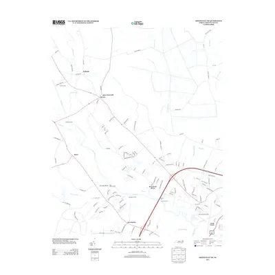
2013 Map of Greenville NW
USGS Topo · Published 2013About this map
The Tar River flows prominently through this 2013 landscape northwest of Greenville, defining a region where modern infrastructure meets long-standing river landings. The presence of multiple historic water access points, such as Parker Landing, Blue Banks Landing, and Randolph Landing, suggests the enduring importance of the river corridor for local transport and commerce. Near the river's edge, settlements like Belvoir and Bruce anchor the rural landscape, while Bells Crossroads serves as a notable junction point north of the water.
Find a feature on this map
112 named features on this map. Tap any name to fly to it.
Don’t see what you’re looking for? This feature index may not catch every label — zoom into the map to look around manually.
Map Details
Editions of this 2013 Greenville NW Map
This is the sole edition of this map. No revisions or reprints were ever made.
Other maps of this area

1901 · Parmele
USGS Topo · 1:62,500

1902 · Parmele
USGS Topo · 1:62,500

1902 · Tarboro
USGS Topo · 1:62,500

1903 · Tarboro
USGS Topo · 1:62,500

1903 · Winterville
USGS Topo · 1:62,500

1904 · Falkland
USGS Topo · 1:62,500

1905 · Winterville
USGS Topo · 1:62,500

1953 · Rocky Mount
USGS Topo · 1:250,000

1954 · Rocky Mount
USGS Topo · 1:250,000

1980 · Falkland
USGS Topo · 1:24,000