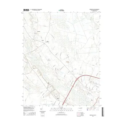
2016 Map of Greenville NW
USGS Topo · Published 2016About this map
The Tar River snakes through this coastal plain landscape northwest of Greenville, defining a terrain of low-lying wetlands and established agricultural communities. The river's influence is evident in the surrounding names like Little Blue Banks and the extensive Great Swamp and Grindle Pocosin that dominate the eastern portion of the quadrangle. These pocosins, or evergreen shrub bogs, represent a unique ecological feature of the North Carolina tidewater region, preserved here alongside active drainage networks like Conetoe Creek and Grindle Cr.
Find a feature on this map
89 named features on this map. Tap any name to fly to it.
Don’t see what you’re looking for? This feature index may not catch every label — zoom into the map to look around manually.
Map Details
Editions of this 2016 Greenville NW Map
This is the sole edition of this map. No revisions or reprints were ever made.
Other maps of this area

1901 · Parmele
USGS Topo · 1:62,500

1902 · Parmele
USGS Topo · 1:62,500

1902 · Tarboro
USGS Topo · 1:62,500

1903 · Tarboro
USGS Topo · 1:62,500

1903 · Winterville
USGS Topo · 1:62,500

1904 · Falkland
USGS Topo · 1:62,500

1905 · Winterville
USGS Topo · 1:62,500

1953 · Rocky Mount
USGS Topo · 1:250,000

1954 · Rocky Mount
USGS Topo · 1:250,000

1980 · Falkland
USGS Topo · 1:24,000