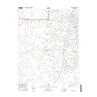
2016 Map of Greenville SW
USGS Topo · Published 2016About this map
The Tar River corridor and its surrounding wetlands define the landscape southwest of Greenville during this 2016 survey. The map details the suburban and educational growth of the region, anchored by the Pitt Community College campus and the expanding town of Winterville. This era shows a transition from the dense street grids of the city to the more dispersed settlements of Frog Level and Cannon Crossroads.
Find a feature on this map
225 named features on this map. Tap any name to fly to it.
Don’t see what you’re looking for? This feature index may not catch every label — zoom into the map to look around manually.
Map Details
Editions of this 2016 Greenville SW Map
This is the sole edition of this map. No revisions or reprints were ever made.
Other maps of this area

1902 · Ayden
USGS Topo · 1:62,500

1903 · Winterville
USGS Topo · 1:62,500

1904 · Ayden
USGS Topo · 1:62,500

1904 · Falkland
USGS Topo · 1:62,500

1905 · Winterville
USGS Topo · 1:62,500

1914 · Kinston
USGS Topo · 1:48,000

1916 · Kinston
USGS Topo · 1:62,500

1953 · Rocky Mount
USGS Topo · 1:250,000

1954 · Rocky Mount
USGS Topo · 1:250,000

1980 · Falkland
USGS Topo · 1:24,000