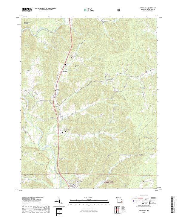
2021 Map of Greenville
USGS Topo · Published 2021About this map
The Wayne County Courthouse stands as a central landmark in Greenville, Missouri, marking the seat of local government in this 2021 survey. The landscape is defined by the winding course of the Saint Francis River and its numerous tributaries, including Hubble Cr and Bounds Cr. This region of the Saint Francois Mountains transitions from the river valley into timbered slopes protected within the Mark Twain National Forest.
Find a feature on this map
65 named features on this map. Tap any name to fly to it.
Don’t see what you’re looking for? This feature index may not catch every label — zoom into the map to look around manually.
Map Details
Editions of this 2021 Greenville Map
This is the sole edition of this map. No revisions or reprints were ever made.
Other maps of this area

1926 · Des Arc
USGS Topo · 1:62,500

1929 · Des Arc
USGS Topo · 1:62,500

1930 · Coldwater
USGS Topo · 1:62,500

1932 · Piedmont
USGS Topo · 1:62,500

1934 · Greenville
USGS Topo · 1:62,500

1935 · Piedmont
USGS Topo · 1:62,500

1939 · Greenville
USGS Topo · 1:62,500

1949 · Rolla
USGS Topo · 1:250,000

1949 · Coldwater
USGS Topo · 1:62,500

1953 · Rolla
USGS Topo · 1:250,000