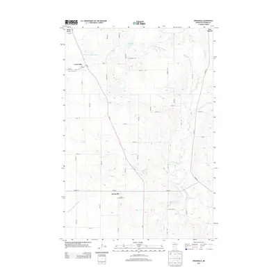
2013 Map of Greenwald
USGS Topo · Published 2013About this map
The Sauk River and its meandering tributaries, including Stony Cr and Getchell Cr, define the drainage of this agricultural region in Stearns County. The landscape is characterized by a high density of rural roads and drainage infrastructure like County Ditch Number Fortyfour, supporting the farmsteads surrounding the primary settlements of Greenwald and Spring Hill. This 2013 survey provides a clear view of the communal centers that have anchored these German-heritage farming communities for generations, including the Saint Andrews Cem near the Po in Greenwald and Saint Michael Cem in Spring Hill.
Find a feature on this map
46 named features on this map. Tap any name to fly to it.
Don’t see what you’re looking for? This feature index may not catch every label — zoom into the map to look around manually.
Map Details
Editions of this 2013 Greenwald Map
This is the sole edition of this map. No revisions or reprints were ever made.
Other maps of this area

1953 · Saint Cloud
USGS Topo · 1:250,000
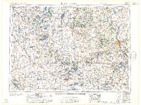
1957 · Saint Cloud
USGS Topo · 1:250,000
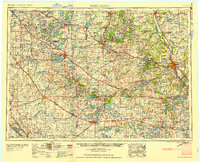
1958 · Saint Cloud
USGS Topo · 1:250,000
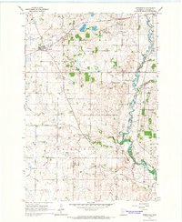
1965 · Greenwald
USGS Topo · 1:24,000
1965 · Sauk Centre
USGS Topo · 1:24,000
1965 · Melrose
USGS Topo · 1:24,000
1965 · Freeport
USGS Topo · 1:24,000
1965 · Elrosa
USGS Topo · 1:24,000
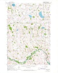
1965 · St Martin
USGS Topo · 1:24,000
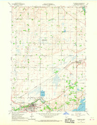
1967 · Paynesville
USGS Topo · 1:24,000