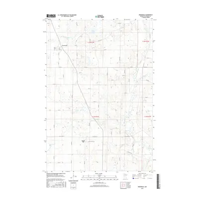
2016 Map of Greenwald
USGS Topo · Published 2016About this map
The small rural settlements of Greenwald and Spring Hill anchor this Stearns County landscape, where the agricultural grid is deeply intertwined with a complex network of glacial waterways and drainage systems. The meandering path of the Sauk River flows through the southeastern portion of the quadrangle, while Stony Cr and Getchell Cr navigate the undulating terrain of the central and northern sections. The persistence of local heritage is visible in the placement of Saint Andrews Cem and Saint Michael Cem, serving their respective communities near the town centers. In this modern survey, the landscape is defined by the rigid section lines and named thoroughfares such as Co HWY 30 and Co ST Aid HWY 14, which contrast with the irregular shapes of Brings Lake and man-made alterations like County Ditch Number Forty-four.
Find a feature on this map
57 named features on this map. Tap any name to fly to it.
Don’t see what you’re looking for? This feature index may not catch every label — zoom into the map to look around manually.
Map Details
Editions of this 2016 Greenwald Map
This is the sole edition of this map. No revisions or reprints were ever made.
Other maps of this area

1953 · Saint Cloud
USGS Topo · 1:250,000
1957 · Saint Cloud
USGS Topo · 1:250,000
1958 · Saint Cloud
USGS Topo · 1:250,000
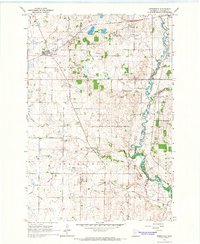
1965 · Greenwald
USGS Topo · 1:24,000
1965 · Sauk Centre
USGS Topo · 1:24,000
1965 · Melrose
USGS Topo · 1:24,000
1965 · Freeport
USGS Topo · 1:24,000
1965 · Elrosa
USGS Topo · 1:24,000
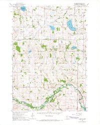
1965 · St Martin
USGS Topo · 1:24,000
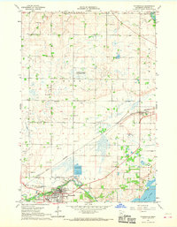
1967 · Paynesville
USGS Topo · 1:24,000