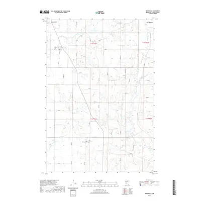
2019 Map of Greenwald
USGS Topo · Published 2019About this map
New Munich and Greenwald anchor this section of central Minnesota, where the agrarian landscape is defined by the winding course of the Sauk River. The region’s development is closely tied to its water management, evidenced by extensive drainage systems like County Ditch Number Fortyfour and County Ditch Number Thirtyone that crisscross the prairie. These engineering efforts support the productive farmland surrounding settlements like Meire Grove and Spring Hill. Cultural and genealogical history is centered around local landmarks such as Saint Andrews Cem near Greenwald and Saint Michael Cem in the southern portion of the quadrangle. The map reveals a highly structured grid of section roads, including Co HWY 30 and Co RD 176, which facilitate movement between these close-knit rural communities and the nearby tributaries of Stony Cr and Getchell Cr.
Find a feature on this map
39 named features on this map. Tap any name to fly to it.
Don’t see what you’re looking for? This feature index may not catch every label — zoom into the map to look around manually.
Map Details
Editions of this 2019 Greenwald Map
This is the sole edition of this map. No revisions or reprints were ever made.
Other maps of this area

1953 · Saint Cloud
USGS Topo · 1:250,000
1957 · Saint Cloud
USGS Topo · 1:250,000
1958 · Saint Cloud
USGS Topo · 1:250,000
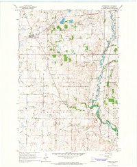
1965 · Greenwald
USGS Topo · 1:24,000
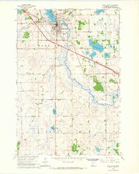
1965 · Sauk Centre
USGS Topo · 1:24,000
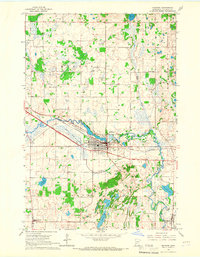
1965 · Melrose
USGS Topo · 1:24,000
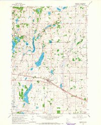
1965 · Freeport
USGS Topo · 1:24,000
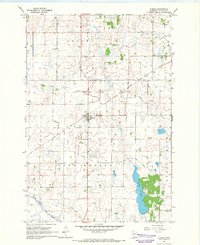
1965 · Elrosa
USGS Topo · 1:24,000
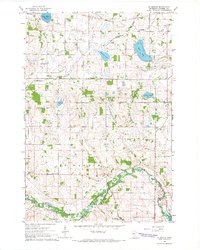
1965 · St Martin
USGS Topo · 1:24,000
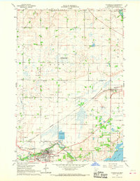
1967 · Paynesville
USGS Topo · 1:24,000