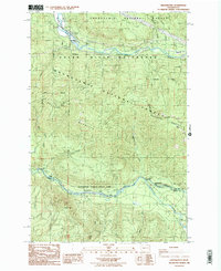
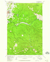
1986 Map of Greenwater
USGS Topo · Published 1986About this map
Greenwater sits at the confluence of the White River and the river named for it, serving as a gateway to the high timberlands of the Snoqualmie National Forest. This 1980s provisional study details a landscape defined by industrial water management and forest recreation, notably the Green River Watershed (City of Tacoma) and the Howard A Hanson Reservoir. The boundary between King and Pierce counties cuts through the terrain, separating the steep slopes of Grass Mountain from the southern river valleys.
Find a feature on this map
26 named features on this map. Tap any name to fly to it.
Don’t see what you’re looking for? This feature index may not catch every label — zoom into the map to look around manually.
Map Details
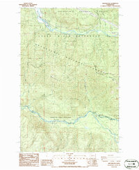
Editions of this 1986 Greenwater Map
2 editions found
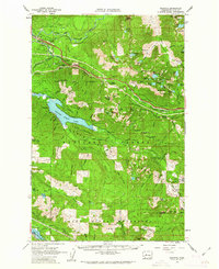
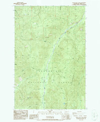
Other maps of this area

1913 · Cedar Lake
USGS Topo · 1:125,000
1953 · Eagle Gorge
USGS Topo · 1:24,000
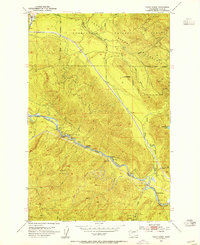
1956 · Greenwater
USGS Topo · 1:62,500
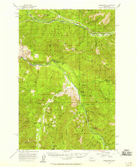
1956 · Enumclaw
USGS Topo · 1:62,500

1957 · Wenatchee
USGS Topo · 1:250,000
1960 · Bandera
USGS Topo · 1:62,500

1975 · Snoqualmie Pass
USGS Topo · 1:100,000

1986 · Bearhead Mtn
USGS Topo · 1:24,000

1986 · Nagrom
USGS Topo · 1:24,000
1986 · Clear West Peak
USGS Topo · 1:24,000