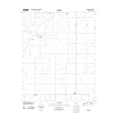
2011 Map of Greenway
USGS Topo · Published 2011About this map
The town of Greenway anchors this portion of Clay County, where the landscape is defined by a dense grid of rural roads and an intricate network of waterways designed for agricultural drainage. The terrain is crisscrossed by natural and engineered channels, including the Big Slough Ditch, Middle Slough, and Quick Creek, all feeding toward the Saint Francis River in the southeast. This 2011 survey captures the area's established rural character, marking local hubs such as Holly Island Community, Mitchell, and Hargrave Corner. For those researching local family history, the map precisely locates the Piggott Cemetery near the northern boundary and the Winston Cemetery further south. The rectilinear road system, with numerous county routes like County Rd 548 and County Rd 530, reflects a highly organized land-use pattern typical of the Mississippi Alluvial Plain, supporting the small-town centers and outlying settlements like Rhyne.
Find a feature on this map
55 named features on this map. Tap any name to fly to it.
Don’t see what you’re looking for? This feature index may not catch every label — zoom into the map to look around manually.
Map Details
Editions of this 2011 Greenway Map
This is the sole edition of this map. No revisions or reprints were ever made.
Other maps of this area

1934 · Kennett
USGS Topo · 1:62,500

1935 · Rector
USGS Topo · 1:62,500

1940 · Marmaduke
USGS Topo · 1:62,500

1940 · Kennett
USGS Topo · 1:62,500

1940 · Piggott
USGS Topo · 1:62,500

1956 · Kennett
USGS Topo · 1:62,500

1956 · Piggott
USGS Topo · 1:62,500

1957 · Poplar Bluff
USGS Topo · 1:250,000

1958 · Marmaduke
USGS Topo · 1:62,500

1958 · Rector
USGS Topo · 1:62,500