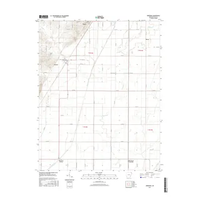
2017 Map of Greenway
USGS Topo · Published 2017About this map
Piggott and the surrounding agricultural lowlands of Clay County are defined by an intricate network of waterways and drainage systems. This landscape is characterized by the meandering path of Middle Slough and the engineered precision of the Slough-Drainage Ditch and Big Slough Ditch, which manage the alluvial plains of the Arkansas Delta. Small rural crossroads and communities like Hargrave Corner and the Holly Island Community are scattered across the grid-patterned countryside, reflecting the area's deep-rooted farming heritage. Historical sites such as Winston Cem and Piggott Cem provide important touchpoints for family historians. The map also records the small towns of Greenway and Mitchell, showing their layout along established routes like Davis St and Clay St. This survey documents a region where the natural flow of Quick Cr and Sugar Cr meets the structured demands of modern cultivation and water management.
Find a feature on this map
65 named features on this map. Tap any name to fly to it.
Don’t see what you’re looking for? This feature index may not catch every label — zoom into the map to look around manually.
Map Details
Editions of this 2017 Greenway Map
This is the sole edition of this map. No revisions or reprints were ever made.
Other maps of this area
1934 · Kennett
USGS Topo · 1:62,500
1935 · Rector
USGS Topo · 1:62,500
1940 · Marmaduke
USGS Topo · 1:62,500
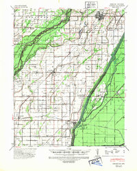
1940 · Kennett
USGS Topo · 1:62,500
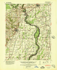
1940 · Piggott
USGS Topo · 1:62,500
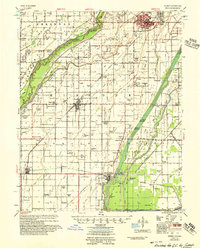
1956 · Kennett
USGS Topo · 1:62,500
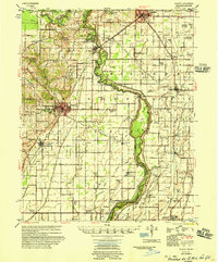
1956 · Piggott
USGS Topo · 1:62,500

1957 · Poplar Bluff
USGS Topo · 1:250,000
1958 · Marmaduke
USGS Topo · 1:62,500
1958 · Rector
USGS Topo · 1:62,500