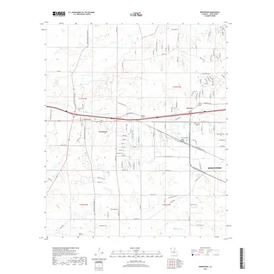
2018 Map of Greenwood
USGS Topo · Published 2018About this map
Greenwood sits at a crossroads of western Caddo Parish, where established routes like Greenwood Moorningsport Rd and Greenwood Springridge Rd converge. This 2018 survey documents a landscape defined by residential expansion on the western edge of Shreveport, with numerous named lanes and drives such as Beavers Nest Dr and Sandi Acres Loop branching off the primary corridors. The natural drainage of the region is traced by the winding paths of Page Bayou and Boggy Bayou, which cut through the terrain north and south of the settlement.
Find a feature on this map
112 named features on this map. Tap any name to fly to it.
Don’t see what you’re looking for? This feature index may not catch every label — zoom into the map to look around manually.
Map Details
Editions of this 2018 Greenwood Map
This is the sole edition of this map. No revisions or reprints were ever made.
Other maps of this area

1932 · Shreveport SE
USGS Topo · 1:31,680

1943 · Waskom
USGS Topo · 1:62,500

1944 · Caddo Lake
USGS Topo · 1:62,500

1945 · Waskom
USGS Topo · 1:62,500

1945 · Greenwood
USGS Topo · 1:62,500

1946 · Caddo Lake
USGS Topo · 1:62,500

1948 · Mooringsport
USGS Topo · 1:62,500

1955 · Shreveport
USGS Topo · 1:250,000
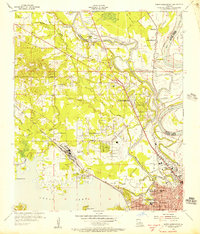
1955 · North Shreveport
USGS Topo · 1:24,000
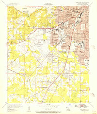
1955 · Shreveport West
USGS Topo · 1:24,000