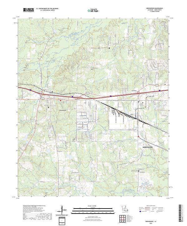
2024 Map of Greenwood
USGS Topo · Published 2024About this map
Greenwood serves as a focal point in western Caddo Parish, where the traditional layout of rural roads meets modern transport corridors. The landscape is dotted with numerous small burial grounds and religious sites, including the Greenwood City Cem, Jackson Pine Hill Cem, and the historic Old Oak Hill Church. These sites, alongside landmarks like Bayliss Grave Yard, offer a dense concentration of data for genealogical research within the township boundaries of T17N R16W and T16N R16W.
Find a feature on this map
119 named features on this map. Tap any name to fly to it.
Don’t see what you’re looking for? This feature index may not catch every label — zoom into the map to look around manually.
Map Details
Editions of this 2024 Greenwood Map
This is the sole edition of this map. No revisions or reprints were ever made.
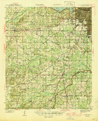
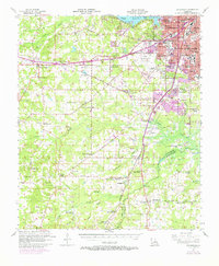
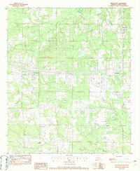
Historical Maps of Lake Hayes Through Time
4 maps found