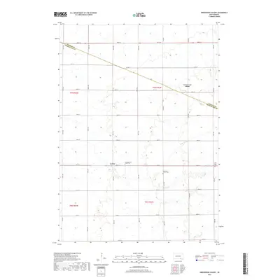
2017 Map of Greenwood Colony
USGS Topo · Published 2017About this map
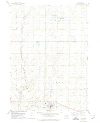
Greenwood Colony serves as a primary social and residential hub within this agricultural landscape of Charles Mix County. The map reveals a deeply rooted rural community organized around several denominational centers. A cluster of spiritual and commemorative sites defines the central township sections, including the Zion Baptist Church and its corresponding Zion Baptist Cem, as well as the Congregational Church and Congregational Cem. The presence of these paired church and cemetery sites, such as Saint Pauls Lutheran Church and New Salem Church, suggests a community of distinct ethnic or congregational lineages living in close proximity.
Find a feature on this map
31 named features on this map. Tap any name to fly to it.
Don’t see what you’re looking for? This feature index may not catch every label — zoom into the map to look around manually.
Map Details
Editions of this 2017 Greenwood Colony Map
This is the sole edition of this map. No revisions or reprints were ever made.
Other maps of this area

1955 · Mitchell
USGS Topo · 1:250,000

1959 · Mitchell
USGS Topo · 1:250,000

1964 · Wagner NE
USGS Topo · 1:24,000

1964 · Wagner
USGS Topo · 1:24,000
1972 · Dante
USGS Topo · 1:24,000

1977 · Oak Hollow
USGS Topo · 1:24,000
1977 · Wagner
USGS Topo · 1:24,000
1977 · Wagner NE
USGS Topo · 1:24,000

1978 · Oak Hollow
USGS Topo · 1:24,000
1978 · Avon
USGS Topo · 1:24,000
Featured Places
- Choteau Creek Township, SD
- East Choteau Township, SD
- Clearfield Hutterite Colony, SD
- Independence Township, SD
- Kennedy Township, SD