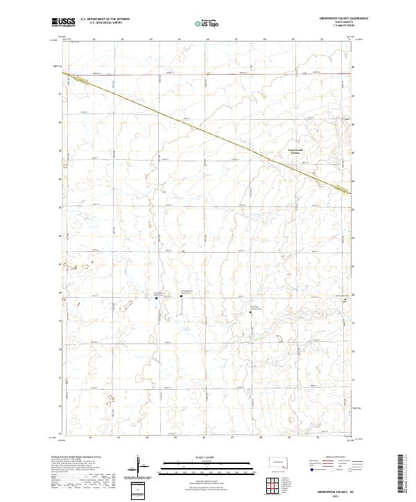
2021 Map of Greenwood Colony
USGS Topo · Published 2021About this map
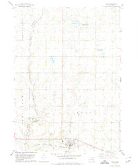
The Greenwood Colony settlement anchors the upper-eastern corner of this South Dakota landscape, where the prairie is organized by a strict grid of section lines and gravel roads. Located on the boundary between Douglas and Charles Mix counties, the area is defined by its rural heritage and small-town congregations. The map reveals a cluster of religious and burial sites situated along 291st St, indicating a focal point for the surrounding farmsteads. These sites include the Zion Baptist Church and Congregational Church, each with its respective Zion Baptist Church Cem and Congregational Church Cem. Further east, the Saint Pauls Lutheran Cem and New Salem Cem speak to the diverse denominations that established roots in these townships. The terrain itself is subtly undulating, with ephemeral drainages crossing the section lines that define the agricultural character of the region.
Find a feature on this map
31 named features on this map. Tap any name to fly to it.
Don’t see what you’re looking for? This feature index may not catch every label — zoom into the map to look around manually.
Map Details
Editions of this 2021 Greenwood Colony Map
This is the sole edition of this map. No revisions or reprints were ever made.
Other maps of this area

1955 · Mitchell
USGS Topo · 1:250,000

1959 · Mitchell
USGS Topo · 1:250,000

1964 · Wagner NE
USGS Topo · 1:24,000

1964 · Wagner
USGS Topo · 1:24,000
1972 · Dante
USGS Topo · 1:24,000

1977 · Oak Hollow
USGS Topo · 1:24,000
1977 · Wagner
USGS Topo · 1:24,000
1977 · Wagner NE
USGS Topo · 1:24,000

1978 · Oak Hollow
USGS Topo · 1:24,000
1978 · Avon
USGS Topo · 1:24,000
Featured Places
- Choteau Creek Township, SD
- East Choteau Township, SD
- Bryan Township, SD
- Independence Township, SD
- Kennedy Township, SD