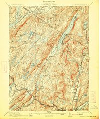
1910 Map of Greenwood Lake
USGS Topo · Published 1913About this map
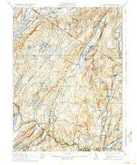
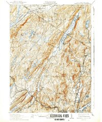
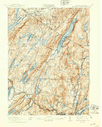
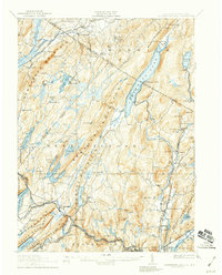
Greenwood Lake serves as the centerpiece of this mountainous region straddling the New York New Jersey Boundary Line. The landscape is defined by the heavy extraction industries of the early twentieth century, evidenced by a dense network of iron works and excavations including the Sterling Furnace, Parker Mine, and Peters Mine. These industrial nodes were connected by vital transit corridors like the Sterling Mountain Railroad and the Lehigh and Hudson River Railroad, which facilitated the movement of ore from the ridges to broader markets.
Find a feature on this map
115 named features on this map. Tap any name to fly to it.
Don’t see what you’re looking for? This feature index may not catch every label — zoom into the map to look around manually.
Map Details
Editions of this 1910 Greenwood Lake Map
9 editions found

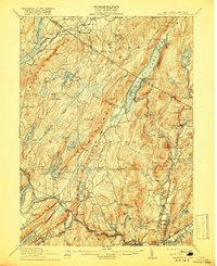
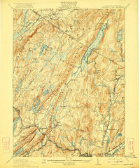
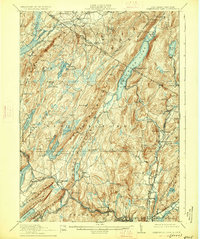
Other maps of this area

1888 · Franklin
USGS Topo · 1:62,500

1888 · Morristown
USGS Topo · 1:62,500

1888 · Lake Hopatcong
USGS Topo · 1:62,500

1888 · Paterson
USGS Topo · 1:62,500

1891 · Greenwood Lake
USGS Topo · 1:62,500

1891 · Ramapo
USGS Topo · 1:62,500

1892 · Paterson
USGS Topo · 1:62,500

1893 · Greenwood Lake
USGS Topo · 1:62,500

1893 · Ramapo
USGS Topo · 1:62,500

1894 · Morristown
USGS Topo · 1:62,500