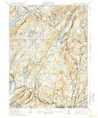
1910 Map of Greenwood Lake
USGS Topo · Published 1935About this map
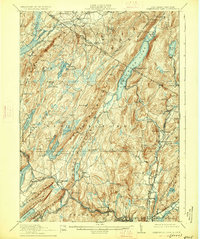
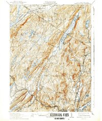
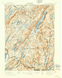
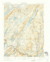
Greenwood Lake straddles the border of New York and New Jersey, serving as the central geographic feature for this early 20th-century landscape. The surrounding terrain is defined by industrial extraction and water management, with numerous iron operations like the Charlotteburg Mine, Parker Mine, and Cannon Mine scattered across the ridges. The eastern edge is anchored by the Sterling Mountain Railroad and the historic Sterling Furnace, reflecting the region's long-standing connection to the iron industry. To the west, the growing demands of regional infrastructure are evident in the Oak Ridge Reservoir, Canistear Reservoir, and Clinton Reservoir, which transformed the natural flow of the Pequannock River. Smaller settlements like New Milford Sta. and Ringwood Junction reveal a network of rail-dependent communities, while local landmarks such as the Maples Grange and Parker School provide essential points of reference for genealogists tracing family roots in this corner of Orange and Passaic counties.
Find a feature on this map
125 named features on this map. Tap any name to fly to it.
Don’t see what you’re looking for? This feature index may not catch every label — zoom into the map to look around manually.
Map Details
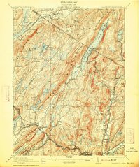
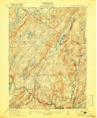
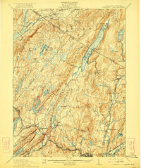
Editions of this 1910 Greenwood Lake Map
9 editions found

Other maps of this area

1888 · Franklin
USGS Topo · 1:62,500

1888 · Morristown
USGS Topo · 1:62,500

1888 · Lake Hopatcong
USGS Topo · 1:62,500

1888 · Paterson
USGS Topo · 1:62,500

1891 · Greenwood Lake
USGS Topo · 1:62,500

1891 · Ramapo
USGS Topo · 1:62,500

1892 · Paterson
USGS Topo · 1:62,500

1893 · Greenwood Lake
USGS Topo · 1:62,500

1893 · Ramapo
USGS Topo · 1:62,500

1894 · Morristown
USGS Topo · 1:62,500