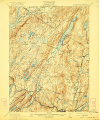
1910 Map of Greenwood Lake
USGS Topo · Published 1922About this map
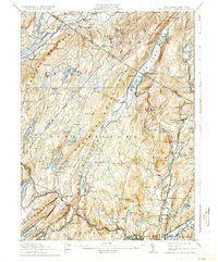
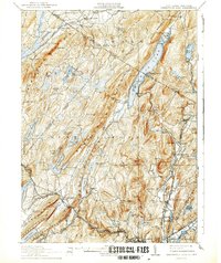
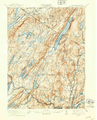
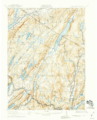
Greenwood Lake serves as the centerpiece for this rugged borderland region during a period of significant industrial and infrastructural development. Stretching across the New York New Jersey Boundary Line, the terrain is defined by the steep ridges of Bearfort Mountain and Wawayanda Mountain, which separate valley settlements and critical water resources. The map documents an era when the iron industry still left a heavy imprint on the land, evidenced by the numerous excavations such as the Hope Mine, Peters Mine, and Williams Mine.
Find a feature on this map
115 named features on this map. Tap any name to fly to it.
Don’t see what you’re looking for? This feature index may not catch every label — zoom into the map to look around manually.
Map Details
Editions of this 1910 Greenwood Lake Map
9 editions found

Other maps of this area

1888 · Franklin
USGS Topo · 1:62,500

1888 · Morristown
USGS Topo · 1:62,500

1888 · Lake Hopatcong
USGS Topo · 1:62,500

1888 · Paterson
USGS Topo · 1:62,500

1891 · Greenwood Lake
USGS Topo · 1:62,500

1891 · Ramapo
USGS Topo · 1:62,500

1892 · Paterson
USGS Topo · 1:62,500

1893 · Greenwood Lake
USGS Topo · 1:62,500

1893 · Ramapo
USGS Topo · 1:62,500

1894 · Morristown
USGS Topo · 1:62,500