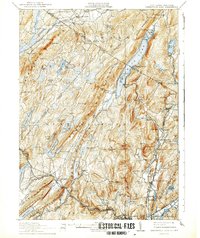
1910 Map of Greenwood Lake
USGS Topo · Published 1942About this map
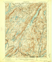
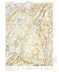
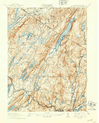
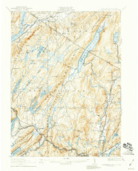
Greenwood Lake straddles the state line between New York and New Jersey, serving as the central geographic feature of a landscape defined by industrial extraction and rail transport. The map documents a rugged corridor where the Wawayanda Mountain and Bellvale Mountain ridges dominate the topography. Iron mining is a pervasive theme of the era, evidenced by the numerous excavations scattered through the hills, including the Layton Mines, Parker Mine, and the Peters Mine. These operations are supported by a complex network of transportation, including the Lehigh and Hudson River Railroad and the Sterling Mountain Railroad.
Find a feature on this map
125 named features on this map. Tap any name to fly to it.
Don’t see what you’re looking for? This feature index may not catch every label — zoom into the map to look around manually.
Map Details
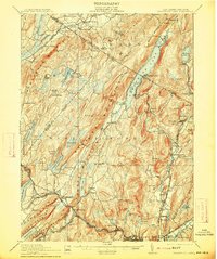
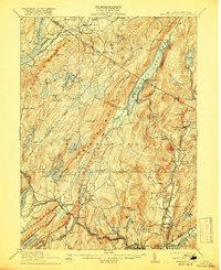
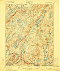
Editions of this 1910 Greenwood Lake Map
9 editions found

Other maps of this area

1888 · Franklin
USGS Topo · 1:62,500

1888 · Morristown
USGS Topo · 1:62,500

1888 · Lake Hopatcong
USGS Topo · 1:62,500

1888 · Paterson
USGS Topo · 1:62,500

1891 · Greenwood Lake
USGS Topo · 1:62,500

1891 · Ramapo
USGS Topo · 1:62,500

1892 · Paterson
USGS Topo · 1:62,500

1893 · Greenwood Lake
USGS Topo · 1:62,500

1893 · Ramapo
USGS Topo · 1:62,500

1894 · Morristown
USGS Topo · 1:62,500